Colorado Springs Parks Master Plan Public Meeting

April 29th, 2014

Ute Valley Dirty Du 2013

Every 10 years the Colorado Springs Parks and Recreation Department updates the city-wide Parks, Recreation, Trails, and Open Space Master Plan which provides long-term vision, goals, and policies to guide their actions throughout the park system.

The last master plan was adopting in 2000 so it’s time to update the plan. Help make this the best plan for the future of our city and our parks by participating in a 90-minute meeting this Wednesday evening.

At this meeting you can learn about the assessment of our current system and trends. You’ll also be able to provide feedback about the draft plan, goals, and strategies. If you’re a mountain biker, this is an important meeting to let the parks department know that you want access to trails in local parks.

When: Wednesday, April 30, 2014, 6:30-8:00 pm
Where: City Auditorium, 221 E. Kiowa St.

Child care provided for ages 3+. Free on-street parking. Parks and Recreation prizes/snacks

Visit www.springsgov.com/parksmasterplan to learn more about the Master Plan update!

Salomon X Alp Mid LTR GTX Hiking Boots
Price: $219.95
 
Salomon X Alp Pro GTX Hiking Boots
Regular Price: $280.00
$209.95 on sale
 
Asolo TPS 520 GV Evo Hiking Boots
Price: $268.44
 

Bear Creek Trail Closure Proposals

March 25th, 2014

Jones Park

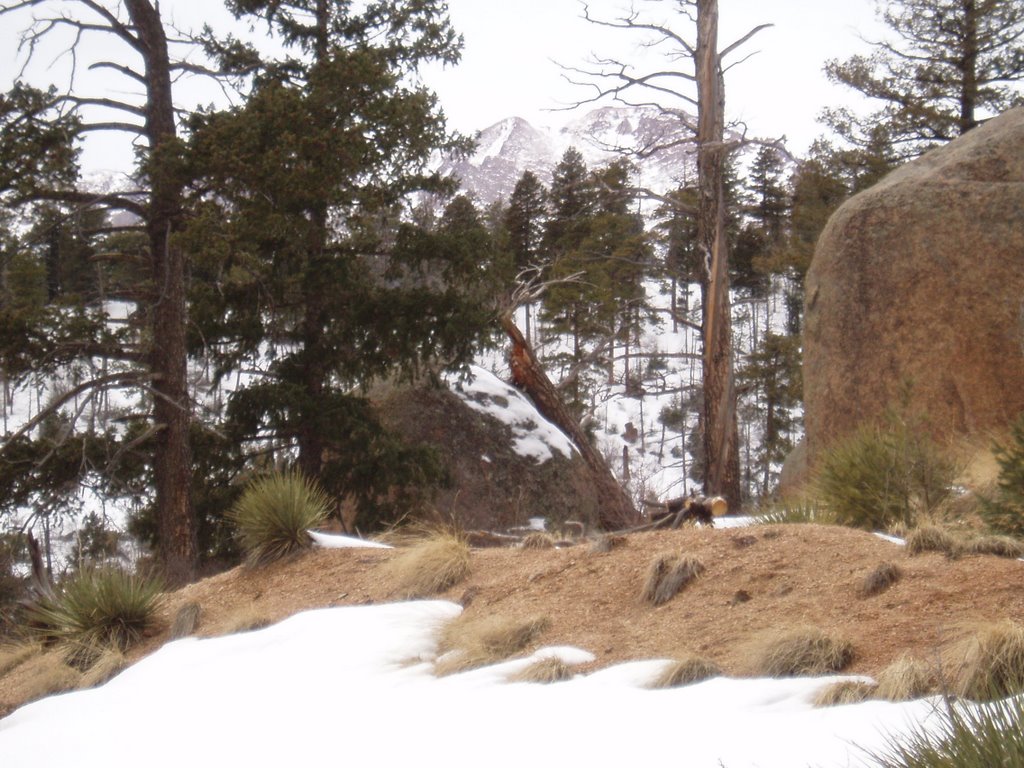
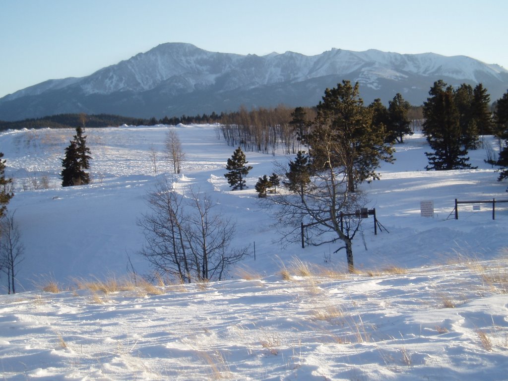
A few weeks ago the Forest Service had an open house about proposed trail closures due to the greenback cutthroat trout in Bear Creek. I’m not convinced they’ve studied the impacts of the trail well enough to say they’re a problem but because of settling a lawsuit with environmental groups it probably doesn’t matter what the impact is. The US Fish and Wildlife Service must approve any trail work in the Bear Creek drainage including current trail maintenance.

At the open house, 3 alternatives were shown. Alternative A is the current trail system and we know that there’s very little chance the trails will remain the same in the future. Alternatives B and C have various trail closures and re-routes.

Both new alternatives would still allow the “Missing Link” trail to be created to link Barr Trail to the Jones Park area but would make it longer because of going around Jones Park and I believe add an uphill section. Also with both proposals, High Drive would be closed to vehicle traffic but would be open to non-motorized use.

Alternative B has all of Jones Park off limits and the upper part of Bear Creek Trail (666) closed. A trail re-route from Pipeline would keep Captain Jacks away from Bear Creek and connect where Captain Jacks currently drops down from the ridge to the creek and intersects with 666. A connector would be created from Buckhorn over to 666 near Josephine Falls.

I believe Alternative C is the same as Alternative B except that all of Bear Creek Trail (666) would be closed. I don’t think you’ll find it surprising that I don’t like this plan.

One part of “Alternative B” that I’m not sure is necessary is the complete closure of Jones Park at least to non-motorized use as that area is flatter and doesn’t have nearly the erosion issues of lower on Cap’n Jacks. Most of Jones Park is Colorado Springs Utilities land and I don’t think they want to make sure they have no risk with the greenback cutthroat trout.

One effect of closing Jones Park is access to Mt. Arthur and Mt. Garfield will be more difficult. It would be nice if a trail could be built from the Section 16 area to allow more access into that area. Also there are ruins of historic buildings in the Jones Park area that would be off limits.

It’s not clear how long it will be before the whatever plan is approved will be implemented. The US Fish and Wildlife Service have until late summer to approve the plan the Forest Service submits to them.

I talked to Forest Ranger Allan Hahn at the meeting last month about how soon trail re-routes could be done after a plan was approved. Although the Forest Service doesn’t have money for the changes, he believes the plan could be implemented in a matter of weeks since so many people are willing to volunteer to get access to the area. I’m not optimistic that with all the government red tape that volunteers would be turned loose to get the re-routes done that quickly.

Now it’s time to move forward and get the best possible trails under the circumstances. Input on the proposals can be sent to the Forest Service by emailing bcc@fs.fed.us, faxing (719) 477-4233 or mailing. Comments must be received by March 27th, 2014. One thing a found from talking to the Forest Service is they don’t understand very well how people use the trails and that it would be helpful to them to know more.

The Gazette did an article that includes some of history of the Bear Creek area. Someone who is fighting against any closures also has history on the area with historic photos. At this point, I don’t believe fighting the changes is productive but the page has some interesting information.

Below is the letter the the Peak Mtb Collective has been asking people to sign at the informational meetings they’ve held. Use it as is or as a starting point for your feedback to the Forest Service. Also go to the Peak Mtb Collective page and sign up for email updates on the Bear Creek drainage trails and other Colorado Springs area trail issues.

Salomon X Alp Mid LTR GTX Hiking Boots
Price: $219.95
 
Salomon X Alp Pro GTX Hiking Boots
Regular Price: $280.00
$209.95 on sale
 
Asolo TPS 520 GV Evo Hiking Boots
Price: $268.44
 

Bear Creek Watershed Restoration Project
Pikes Peak Ranger District
601 S. Weber Street
Colorado Springs, CO 80903
719-477-4233
bcc@fs.fed.us

In reviewing the proposed changes to travel management and recreational activities and the improvement actions for the stream habitat in the Bear Creek Watershed Restoration Project (BCWRP) area, I understand that the project’s purpose is to protect the greenback cutthroat trout as well as to maintain a balance among the many trail user groups. The area in question has a well-established, recognized trail system that is important to the outdoor lifestyle for which the Pikes Peak region is known.

As an avid user of the Bear Creek area and Pikes Peak region trail systems, I am aware of the important balance we share with our eco-system. I have read full through the proposed BCWRP proposals and I support “Alternative B” as the action plan for implementation by the Pikes Peak Ranger District. I believe “Alternative B” supports the objective of protecting the greenback cutthroat trout as well as offering a balance between access and use of this vast trail system.

Acknowledging that change is needed in the area, “Alternative A” offers little compromise regarding the ecological concerns of the project. “Alternative C” offers limited compromise by significantly limiting trail access including the complete closure of trail 666. I believe either of these plans hinders involved groups’ respective goals and could have negative long term effects.

I want to thank everyone involved in the project and look forward to seeing “Alternative B” move forward. I also extend myself as a resource in the implementation of “Alternative B” in the Bear Creek Watershed Restoration Project.

Help Stop Continental Divide Trail Bike Ban

September 11th, 2007

Colorado mountain bikers may find several of the state’s best trails off-limits if the Forest Service pushes through with a new directive. The agency wants to limit or prohibit bike access on the Continental Divide Trail (CDT), which includes the Monarch Crest, Rabbit Ears Pass, Peaks Trail and many sections of the Colorado Trail. In all, hundreds of miles of Colorado singletrack could be lost if mountain bikers don’t make their voices heard. There is more information on the IMBA website.

IMBA has a simple online form that makes it easy for you to send your opinion to the Forest Service. The deadline for comments is October 12th.

Salomon X Alp Mid LTR GTX Hiking Boots
Price: $219.95
 
Salomon X Alp Pro GTX Hiking Boots
Regular Price: $280.00
$209.95 on sale
 
Asolo TPS 520 GV Evo Hiking Boots
Price: $268.44
 

Pike and San Isabel National Forest Meeting Tonight

March 6th, 2007

Pikes Peak From Top Of Old Manitou Incline
The local meeting on the Pike and San Isabel National Forests management plan is tonight. This meeting was scheduled because people were turned away from the meeting in Black Forest a month ago. About 50 cars were turned away from that meeting because there wasn’t enough parking. Tonight’s location should be able to handle enough people. The meeting is from 5:30 – 9:00 PM at the DoubleTree – World Arena, 1775 E. Cheyenne Mountain Blvd.

Unfortunately I’m not going to be able to make it. If you can’t make it but want to give your opinion, you can use the Need for Change Workshop Individual Worksheet. It says it has to be submitted by March 2nd which has already passed but since they’re having the meeting tonight I’d think you could still send it in.

Salomon X Alp Mid LTR GTX Hiking Boots
Price: $219.95
 
Salomon X Alp Pro GTX Hiking Boots
Regular Price: $280.00
$209.95 on sale
 
Asolo TPS 520 GV Evo Hiking Boots
Price: $268.44
 

CSU Changes Tune on South Slope Access

February 24th, 2007

Thursday night was the 2nd Colorado Springs Watershed Access Meeting. At the first meeting on February 6th, Colorado Springs Utilities (CSU) had said there would be no access to the South Slope of Pikes Peak which has been off-limits since 1913. Several groups had been working with CSU to be able to complete the last section of the 60-mile Ring the Peak Trail and one other trail through that area.

I had planned on going to Thursday’s meeting but I’ve been sick this week. Wednesday I came home from work early and slept for over 4 hours. I crawled out of bed and lay on the couch for a little over an hour before going back to bed for the night.

City Council members and the mayor and have had discussions with CSU officials and they now have promised to allow “accommodating recreational activity”. They outlined a process for creating trails in areas that have long been off limits with trail planning starting this spring. I think this is good news although there weren’t many details. Fishermen weren’t happy since they’ve been wanting the reservoirs opened to fishing and that doesn’t seem part of the plan. I think there should be trail access through the area away from reservoirs but I don’t want vehicle access to the area. The easier the access the more people that will go. The biggest thing though is people that will hike 5 miles to get somewhere generally leave less trash and take better care of an area than those that will only walk a 100 yards.

Related Links:

Salomon X Alp Mid LTR GTX Hiking Boots
Price: $219.95
 
Salomon X Alp Pro GTX Hiking Boots
Regular Price: $280.00
$209.95 on sale
 
Asolo TPS 520 GV Evo Hiking Boots
Price: $268.44
 

New Pike/San Isabel Forest Meeting

February 12th, 2007

After people were turned away from the Pike and San Isabel Forest Management Plan meeting a couple weeks ago, the National Forest promised to schedule another meeting in the Colorado Springs area. They’ve made good on their promise and have scheduled a meeting for March 6th. It will be held from 5:30 PM to 9:00 PM at the Doubletree Hotel – World Arena, 1775 E. Cheyenne Mountain Blvd.

Colorado Springs Watershed Access Meetings

February 5th, 2007

Pikes Peak from Rampart Range

The revision to Management Plan for the Pike and San Isabel National Forests isn’t the only issue that could affect trail access in the Pikes Peak region. The other issue is the Colorado Springs Watershed Access Policy. Not only would it affect mountain bikers but all trail users. Two meetings will be held this month and the first is tomorrow night from 6-8 PM. The next meeting will be Thursday, February 22 from 6-8 PM. Both meetings will be at the Leon Young Service Center.

The draft policy was presented to the public on November 28th, 2006. The Gazette had an article about it on December 13. At the meeting a map was shown that had 3 different zones on it. Zone 1 has no public access, Zone 2 has trail corridor access only and Zone 3 has limited public access. It’s a little hard for me to figure out exactly where the boundaries of the zones are on the map since there’s not much detail. In any case Zone 1 was drawn to not only include Coloraod Springs Utilities (CSU) property but big sections of Pike National Forest Land. Some of these areas include popular mountain biking and hiking trails. It seems that areas around the Forester Trail and Jones Park, the old Manitou Incline, Camerons Cone, etc. could be in restricted areas.

Jim Yount wrote the following in an e-mail to the Medicine Wheel Group

Scott Campbell of CSU has stated that the map was misunderstood and frustrating to those at the 1st meeting and that it is being revised for the 2nd public meeting. The revision will supposedly zone only CSU land (not National Forest) and he also has stated that the placing of Zone 2 corridors is ongoing and that all “accepted use” trails on CSU property will have Zone 2 corridors around them. However, CSU does manage National Forest Land, so they still might restrict access on land coincident with the first map but just not tell you that during the public process because it is separate from the Watershed Access Plan (I’m not a cynic!).

However, it is up to us to ensure that the trails we love are Zone 2 and not simply leave it up to CSU to define “accepted use.” For example, he stated that official (numbered, like 701 for example) Forest Service Trails are “accepted use,” as is Barr Trail, but that we shouldn’t expect “social” trails to become Zone 2.

Although the South Slope watershed has been off-limts since 1913, several groups have worked with CSU and the Forest Service to come with a Pikes Peak Master Plan. It included two trails through the South Slope. One would connect the last 4.5 miles of the 60-mile Ring the Peak trail and the other one would connect Cheyenne Canon area trails with Barr Camp. I’d like to see those trails happen although I think it’s good to have some of the South Slope restricted. I want the area to be protected and no more roads built. I don’t think it’s necessary though to make parts of the South Slope and west of Pikes Peak into a wildernes area like the Central Colorado Wilderness Coalition wants. As part of their Wilderness and Mountain Biking Guide, IMBA has a section on how to preserve areas like this without banning mountain bikes.

Update: Mostly final Pikes Peak South Slope Plan was presented on April 27th, 2010

Salomon X Alp Mid LTR GTX Hiking Boots
Price: $219.95
 
Salomon X Alp Pro GTX Hiking Boots
Regular Price: $280.00
$209.95 on sale
 
Asolo TPS 520 GV Evo Hiking Boots
Price: $268.44
 

People Turned Away From Forest Plan Meeting

February 1st, 2007

The meeting about the Management Plan for the Pike and San Isabel National Forests was last night. According to an article on Gazette.com, 214 people got into the meeting but people in at least 50 cars were turned away because of insufficient parking. Forest Supervisor Bob Leaverton has promised that another meeting will be held here so everyone interested can attend. Meetings are still planned in Westcliffe, Pueblo, and Fairplay.

Salomon X Alp Mid LTR GTX Hiking Boots
Price: $219.95
 
Salomon X Alp Pro GTX Hiking Boots
Regular Price: $280.00
$209.95 on sale
 
Asolo TPS 520 GV Evo Hiking Boots
Price: $268.44
 

Trail Access in Pike/San Isabel National Forests

January 29th, 2007

I’ve gotten a few e-mails including ones from IMBA and the Medicine Wheel Email List about the Management Plan for the Pike and San Isabel National Forests being revised. The Pike and San Isabel National Forests cover a huge area along the Front Range and into the central mountains. The area includes epic mountain bike rides like the Monarch Crest Trail, Buffalo Creek, sections of the Colorado and Continental Divide Trails, and numerous trails near Colorado Springs, Salida, Leadville, and Pueblo.

There is a page on the web that gives ways to get your opinion heard. The Forest Service is holding 7 public meetings. Two of them have already taken place. One is scheduled for this Tuesday in Denver and our Colorado Springs meeting is planned for Wednesday night. Unfortunately I won’t be able to attend it but hopefully I’ll be able to get some information on what happens there. I know at least one person from Pikes Peak Velo plans to go.

The biggest issue is some people would like to see the whole west and south slope of Pikes Peak, among 10 other places in central Colorado, be designated as Wilderness. I’ve spent plenty of time backpacking in wilderness areas and think they are important but they don’t allow mountain bikes. According to the email on from theMedicine Wheel Email List, the Central Colorado Wilderness Coalition would like to see Wilderness designation and they are planning on attending/commenting in large numbers. If you can’t make any of the meetings, you can send an email to r2_psicc_webmail@fs.fed.us or snail mail comments to

Pike-San Isabel National Forests
Attn: Forest Plan Revision Team
2840 Kachina Drive,
Pueblo, CO 81008


Email: web@ultrarob.com

Business Seal       Privacy Seal