CSU Changes Tune on South Slope Access

February 24th, 2007

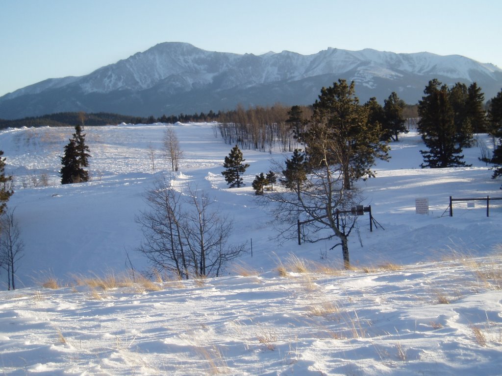
Thursday night was the 2nd Colorado Springs Watershed Access Meeting. At the first meeting on February 6th, Colorado Springs Utilities (CSU) had said there would be no access to the South Slope of Pikes Peak which has been off-limits since 1913. Several groups had been working with CSU to be able to complete the last section of the 60-mile Ring the Peak Trail and one other trail through that area.

I had planned on going to Thursday’s meeting but I’ve been sick this week. Wednesday I came home from work early and slept for over 4 hours. I crawled out of bed and lay on the couch for a little over an hour before going back to bed for the night.

City Council members and the mayor and have had discussions with CSU officials and they now have promised to allow “accommodating recreational activity”. They outlined a process for creating trails in areas that have long been off limits with trail planning starting this spring. I think this is good news although there weren’t many details. Fishermen weren’t happy since they’ve been wanting the reservoirs opened to fishing and that doesn’t seem part of the plan. I think there should be trail access through the area away from reservoirs but I don’t want vehicle access to the area. The easier the access the more people that will go. The biggest thing though is people that will hike 5 miles to get somewhere generally leave less trash and take better care of an area than those that will only walk a 100 yards.

Related Links:

Hi Tec Penrith Mid Jr. WP Hiking Boots
Price: $38.73
 
Adidas AX2 Mid GTX Hiking Boots
Price: $135.00
 
Salomon X Alp Mid LTR GTX Hiking Boots
Price: $219.95
 

Colorado Springs Watershed Access Meetings

February 5th, 2007

Pikes Peak from Rampart Range

The revision to Management Plan for the Pike and San Isabel National Forests isn’t the only issue that could affect trail access in the Pikes Peak region. The other issue is the Colorado Springs Watershed Access Policy. Not only would it affect mountain bikers but all trail users. Two meetings will be held this month and the first is tomorrow night from 6-8 PM. The next meeting will be Thursday, February 22 from 6-8 PM. Both meetings will be at the Leon Young Service Center.

The draft policy was presented to the public on November 28th, 2006. The Gazette had an article about it on December 13. At the meeting a map was shown that had 3 different zones on it. Zone 1 has no public access, Zone 2 has trail corridor access only and Zone 3 has limited public access. It’s a little hard for me to figure out exactly where the boundaries of the zones are on the map since there’s not much detail. In any case Zone 1 was drawn to not only include Coloraod Springs Utilities (CSU) property but big sections of Pike National Forest Land. Some of these areas include popular mountain biking and hiking trails. It seems that areas around the Forester Trail and Jones Park, the old Manitou Incline, Camerons Cone, etc. could be in restricted areas.

Jim Yount wrote the following in an e-mail to the Medicine Wheel Group

Scott Campbell of CSU has stated that the map was misunderstood and frustrating to those at the 1st meeting and that it is being revised for the 2nd public meeting. The revision will supposedly zone only CSU land (not National Forest) and he also has stated that the placing of Zone 2 corridors is ongoing and that all “accepted use” trails on CSU property will have Zone 2 corridors around them. However, CSU does manage National Forest Land, so they still might restrict access on land coincident with the first map but just not tell you that during the public process because it is separate from the Watershed Access Plan (I’m not a cynic!).

However, it is up to us to ensure that the trails we love are Zone 2 and not simply leave it up to CSU to define “accepted use.” For example, he stated that official (numbered, like 701 for example) Forest Service Trails are “accepted use,” as is Barr Trail, but that we shouldn’t expect “social” trails to become Zone 2.

Although the South Slope watershed has been off-limts since 1913, several groups have worked with CSU and the Forest Service to come with a Pikes Peak Master Plan. It included two trails through the South Slope. One would connect the last 4.5 miles of the 60-mile Ring the Peak trail and the other one would connect Cheyenne Canon area trails with Barr Camp. I’d like to see those trails happen although I think it’s good to have some of the South Slope restricted. I want the area to be protected and no more roads built. I don’t think it’s necessary though to make parts of the South Slope and west of Pikes Peak into a wildernes area like the Central Colorado Wilderness Coalition wants. As part of their Wilderness and Mountain Biking Guide, IMBA has a section on how to preserve areas like this without banning mountain bikes.

Update: Mostly final Pikes Peak South Slope Plan was presented on April 27th, 2010

Hi Tec Penrith Mid Jr. WP Hiking Boots
Price: $38.73
 
Adidas AX2 Mid GTX Hiking Boots
Price: $135.00
 
Salomon X Alp Mid LTR GTX Hiking Boots
Price: $219.95


Email: web@ultrarob.com

Business Seal       Privacy Seal