
The revision to Management Plan for the Pike and San Isabel National Forests isn’t the only issue that could affect trail access in the Pikes Peak region. The other issue is the Colorado Springs Watershed Access Policy. Not only would it affect mountain bikers but all trail users. Two meetings will be held this month and the first is tomorrow night from 6-8 PM. The next meeting will be Thursday, February 22 from 6-8 PM. Both meetings will be at the Leon Young Service Center.
The draft policy was presented to the public on November 28th, 2006. The Gazette had an article about it on December 13. At the meeting a map was shown that had 3 different zones on it. Zone 1 has no public access, Zone 2 has trail corridor access only and Zone 3 has limited public access. It’s a little hard for me to figure out exactly where the boundaries of the zones are on the map since there’s not much detail. In any case Zone 1 was drawn to not only include Coloraod Springs Utilities (CSU) property but big sections of Pike National Forest Land. Some of these areas include popular mountain biking and hiking trails. It seems that areas around the Forester Trail and Jones Park, the old Manitou Incline, Camerons Cone, etc. could be in restricted areas.
Jim Yount wrote the following in an e-mail to the Medicine Wheel Group
Scott Campbell of CSU has stated that the map was misunderstood and frustrating to those at the 1st meeting and that it is being revised for the 2nd public meeting. The revision will supposedly zone only CSU land (not National Forest) and he also has stated that the placing of Zone 2 corridors is ongoing and that all “accepted use” trails on CSU property will have Zone 2 corridors around them. However, CSU does manage National Forest Land, so they still might restrict access on land coincident with the first map but just not tell you that during the public process because it is separate from the Watershed Access Plan (I’m not a cynic!).
However, it is up to us to ensure that the trails we love are Zone 2 and not simply leave it up to CSU to define “accepted use.” For example, he stated that official (numbered, like 701 for example) Forest Service Trails are “accepted use,” as is Barr Trail, but that we shouldn’t expect “social” trails to become Zone 2.
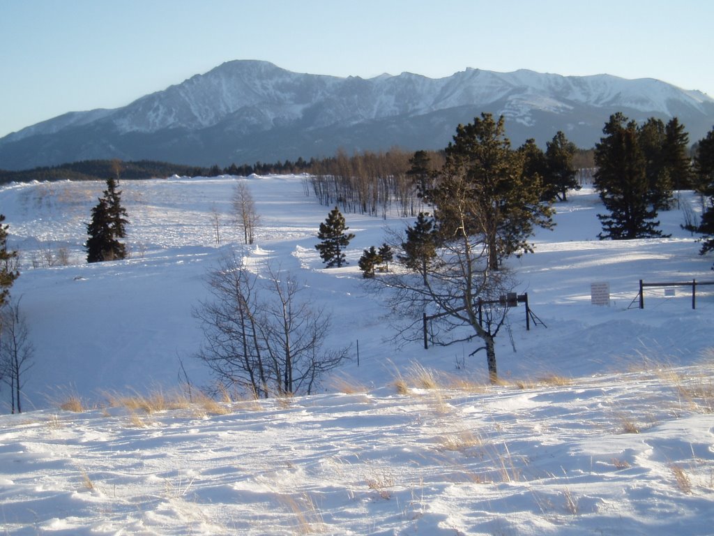
Although the South Slope watershed has been off-limts since 1913, several groups have worked with CSU and the Forest Service to come with a Pikes Peak Master Plan. It included two trails through the South Slope. One would connect the last 4.5 miles of the 60-mile Ring the Peak trail and the other one would connect Cheyenne Canon area trails with Barr Camp. I’d like to see those trails happen although I think it’s good to have some of the South Slope restricted. I want the area to be protected and no more roads built. I don’t think it’s necessary though to make parts of the South Slope and west of Pikes Peak into a wildernes area like the Central Colorado Wilderness Coalition wants. As part of their Wilderness and Mountain Biking Guide, IMBA has a section on how to preserve areas like this without banning mountain bikes.
Update: Mostly final Pikes Peak South Slope Plan was presented on April 27th, 2010
|
|
|


Tags: hiking, mountain biking, Pikes Peak, trail access
 Blog RSS Feed
 Like on Facebook
 Follow on Twitter
 Flickr
 Contact

Hey, I like your blog. I found you via “out there” the Gazette folk’s blog.
This has always confused me. CSU is a community owned utility company, right? This isn’t some private company like Enron or something. So why do we, the owners have to beg for access to our land? Can’t we just fire the clowns who are making this so difficult? They have the responsibility to manage the land in the public’s interest. I think that most members of our community would agree with expanding the use of publicly owned utility land to include outdoor recreation since that doesn’t conflict with the land’s primary water resource function. If the utility is short staffed and they need a ranger or something to accommodate this new usage model I don’t think funding that would be a problem.