|
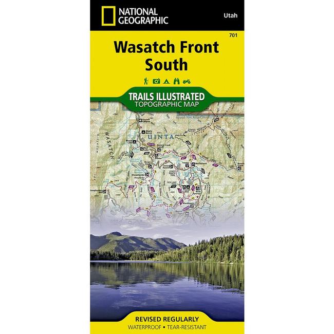
This Trails Illustrated topographic map is the most comprehensive recreational map for Utah's Wasatch FrontStrawberry Valley area. Coverage includes Uinta National Forest Southern Wasatch National Forest Twin Peaks, Lone Peak and Mt. Timpanogos Wildernesses Spanish Fork, Soldier Summit, Cottonwood Heights, Kamas, Heber City and American Fork Cottonwood, Mill Creek and Spanish Fork Canyons, Mirror Lake West, Rockport Lake, Deer Creek, Currant Creek and Strawberry Reservoir. Includes UTM grids for use with your GPS unit.
|


 Blog Feed
 Follow on Twitter
 Become a Facebook Fan
 Flickr
 MySpace