|
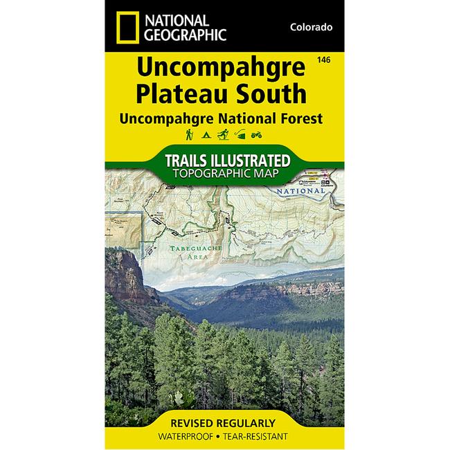
Uncompahgre Plateau South Uncompahgre National ForestNational Geographic's Trails Illustrated map of Uncompahgre Plateau South is a two sided, waterproof map designed to meet the needs of outdoor enthusiasts with unmatched durability and detail. This map was created in conjunction with local land management agencies and is loaded with valuable recreation information. The front side of the map details the southeastern portion of the Plateau and Uncompahgre National Forest, as well as Ridgway State Park. On the reverse side of the map, the southwestern portion of Uncompahgre National Forest, including the Naturita Division, is featured as well as the Tabeguache Area, Roubideau Special Management Area, UnaweepTabeguache Scenic and Historic Byway, and Dry Creek Basin and Dan Noble State Wildlife Areas. The Uncompahgre Plateau South map is printed in the United States on durable synthetic paper, making it waterproof, tear resistant, and trail tough capable of going anywhere you do.
|
Copy the following string into an e-mail to support@ultrarob.com to request support.
Mozilla/5.0 AppleWebKit/537.36 (KHTML, like Gecko; compatible; ClaudeBot/1.0; +claudebot@anthropic.com)
 Blog Feed
 Follow on Twitter
 Become a Facebook Fan
 Flickr
 MySpace