|
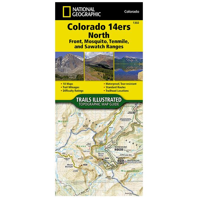
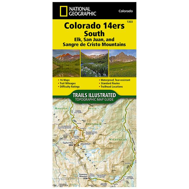
Trails Illustrated Map Colorado Trail East Colorado 14Ers South San Juan, Ealk, And Sangre De Cristo MountainsWaterproof Tear Resistant Topographic Map Colorado has the highest mean elevation of any state in the United States. Its home to 58 mountain peaks higher than 14,000 feetmore than any other state in the U.Smaking it a mountain sports mecca. Bagging these fourteeners is a goal for many Coloradans and visitors to the stateand for some, its an obsession. The Colorado 14ers South Topographic Map Guide provides the most accurate and convenient set of maps for the fourteeners of the Elk, San Juan, and Sangre de Cristo ranges of southern Colorado. These peaks are generally more difficult than their northern counterparts in the Front, Mosquito, Tenmile, and Sawatch Ranges. Even the easier exceptions, such as Humboldt, Sunshine, Redcloud, and Handies Peaks have their unforgiving slopes. Crestone Peak and Little Bear in the Sangre de Cristos, along with Capitol Peak and the Maroon Bells in the Elk Range, are often in the running when talk turns to the hardest fourteener. Given such subjective elements as physical conditioning, skill of party members, weather and season, there is no definitive answer, but all deserve the utmost respect and attention to route finding. Each map page provides accurate trail statistics including trail mileages, total elevation gain and loss, trailhead elevations and elevations at trail junctions, and directions to trailheads. Route information includes climbing class i.e. difficulty rating and points of reference along the route. The maps include both 2WD and 4WD trailhead locations for the standard, recommended route. The standard route is the most sustainable route recommended by land managers in effort to preserve the fragile alpine environment of these peaks. More convenient and easier to use than folded maps, but just as compact and lightweight, National Geographics Topographic Map Guide booklets are printed on Backcountry Tough waterproof, tear resistant paper with stainless steel staples. A full UTM grid is printed on the map to aid with GPS navigation.
|
Copy the following string into an e-mail to support@ultrarob.com to request support.
Mozilla/5.0 AppleWebKit/537.36 (KHTML, like Gecko; compatible; ClaudeBot/1.0; +claudebot@anthropic.com)
 Blog Feed
 Follow on Twitter
 Become a Facebook Fan
 Flickr
 MySpace