|
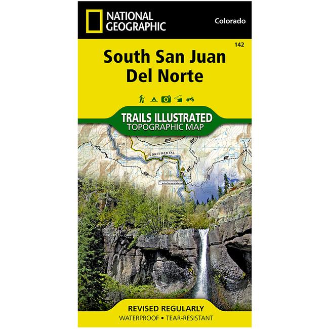
The South San JuanDel Norte Trails Illustrated map is the most comprehensive and complete recreational map for one of Colorado's most secluded wilderness areas. Coverage includes Rio Grande and San Juan national forests South San Juan Wilderness Dipping Lakes and Spiler Lakes Lost Lake Platoro and Fuchs Reservoirs South Fork and Conejos rivers the cities of Del Norte, South Fork, Wagon Wheel Gap, Summitville, Jasper, Cumbres, Platoro and the mountain passes of La Manga, Wolf Creek, Gunsight, Blowout, Silver, and Summit. Also includes portions of the Continental Divide Trail. a Approximately 4 x 7 12 folded 25 12 x 37 34 fully opened a Scale 1:63,360 a Waterproof, tear resistant
|


 Blog Feed
 Follow on Twitter
 Become a Facebook Fan
 Flickr
 MySpace