|
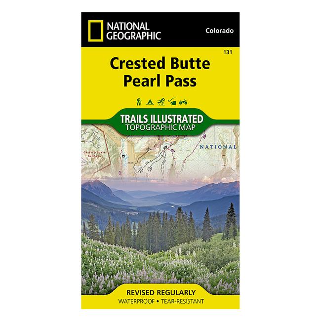
Trails Illustrated Map #131 Crested Butte/Pearl PassCoverage includes White River and Gunnison national forests Maroon Bells Snowmass and Collegiate Peaks Wilderness areas the cities of Gothic, Crested Butte and Taylor Park Taylor RiverReservoir East River Spring Creek Reservoir and Triangle and Pearl passes. Ski Areas: Crested Butte. Includes UTM grids for use with your GPS unit and Colorado Game Management Unit GMU boundaries. Folded Size 4 x 7.5 Flat Size 22 x 32 Scale 1:40,680 Copyright Date 2013
|
Copy the following string into an e-mail to support@ultrarob.com to request support.
Mozilla/5.0 AppleWebKit/537.36 (KHTML, like Gecko; compatible; ClaudeBot/1.0; +claudebot@anthropic.com)
Email: web@ultrarob.com
 Blog Feed
 Follow on Twitter
 Become a Facebook Fan
 Flickr
 MySpace
Similar Gear
| ||
| ||
| ||
| ||
|