|
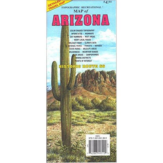
Topographic Recreational Map of ArizonaTopographic full color Arizona state map is scaled at 1 12.5 miles. Elevation contours each 1,000 feet color shaded each 2,000 feet at higher elevations portray the general geography. Old Route 66 is highlighted in yellow. Also shown are national forests, wilderness areas, campgrounds, parks, state game and fish areas, ski areas, mining districts, points of interest, and more. More roads are shown than on typical highway maps. Much printed information is also included.
|
Copy the following string into an e-mail to support@ultrarob.com to request support.
Mozilla/5.0 AppleWebKit/537.36 (KHTML, like Gecko; compatible; ClaudeBot/1.0; +claudebot@anthropic.com)
Email: web@ultrarob.com
 Blog Feed
 Follow on Twitter
 Become a Facebook Fan
 Flickr
 MySpace
Similar Gear
| ||
| ||
| ||
| ||
|