|
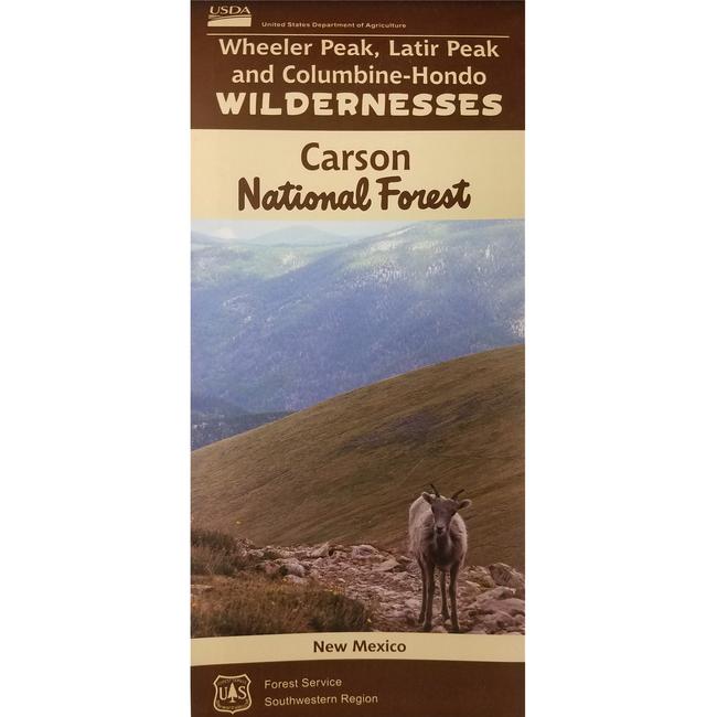
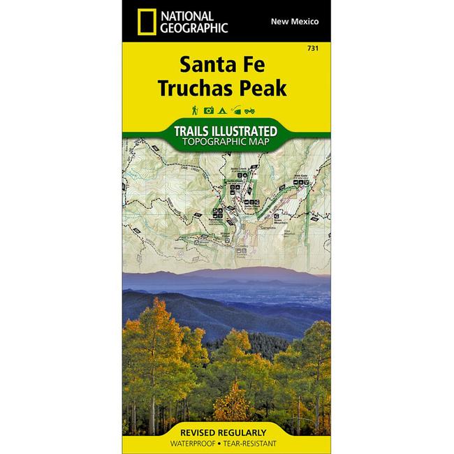
National Geographic's Trails Illustrated map of the Truchas Peak area and the public recreational lands near Santa Fe, New Mexico is designed to meet the needs of outdoor enthusiasts with unmatched durability and detail. Expertly researched and created in partnership with local land management agencies, this map features trail networks in Santa Fe and Carson National Forests, and key points of interest including Truchas Peak the second highest in New Mexico, Hyde Memorial State Park, Open Space parks, Sky Line Trail, Pecos National Historical Park, Pecos Recreational River, and the Pecos Wilderness area. Trail use designations and mileages are clearly marked and Game Management Unit boundaries are included. All proceeds from the purchase of a National Geographic map help support the Society's vital exploration, conservation, scientific research, and education programs.
|


 Blog Feed
 Follow on Twitter
 Become a Facebook Fan
 Flickr
 MySpace