|
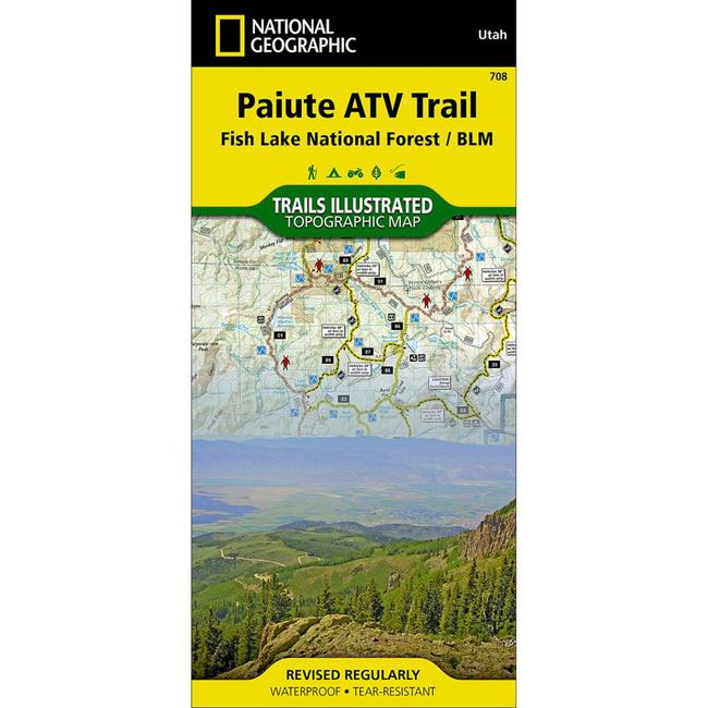
Paiute ATV Trail Fish Lake National Forest/BLMThis Trails Illustrated topographic map is the most comprehensive recreational map for Utah's Paiute ATV Trail. Coverage includes: Fishlake National Forest BLM Sevier River Resource Area Millard, Sevier and Paiute counties complete map of Paiute ATV Trail with adjoining loop trails and town access maps Fillmore Richfield Koosharem Marysvale Geenwich and Circleville. Piute, Otter Creek, Rocky Ford, Koosharem and Three Creeks reservoirs are also included.
|
Copy the following string into an e-mail to support@ultrarob.com to request support.
Mozilla/5.0 AppleWebKit/537.36 (KHTML, like Gecko; compatible; ClaudeBot/1.0; +claudebot@anthropic.com)
Email: web@ultrarob.com
 Blog Feed
 Follow on Twitter
 Become a Facebook Fan
 Flickr
 MySpace
Similar Gear
| ||
| ||
| ||
| ||
|