|
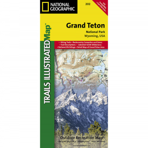
National Geographic Trails Illustrated Acadia National Park METhe Trails Illustrated National Geographic Acadia National Park, ME map is a superb tool for exploring one of America's best outdoor recreational areas. These Trails Illustrated topographic maps are the most comprehensive recreational maps for the area. This Trails Illustrated topographic map is the most comprehensive recreational map for Acadia National Park, located along the beautiful Atlantic coast in Maine. Updated to reflect road closings, new trails, and campground relocation it also includes detailed trail information, points of interest, trailheads, picnic areas, facilities, and more. Features Mount Desert Island, Sestern Mountain, Norwood Ridge, Freeman Ridge, Isle au Haut, Marshall Island, Swans Island, Western Bay, Mount Desert Narrows, Frenchman Bay, Eastern Way, Eastern Passage, Long Pond, Seal Cove Pond, Echo Lake, Somes Sound, Upper and Lower Hadlock Pond, Jordan Pond, and Eagle Lake. More than just a map, National Geographic Trails Illustrated topographic maps are designed to take you into the wilderness and back. Printed on tear resistant, waterproof material, this map can go anywhere you do. Each map is based on exact reproductions of USGS topographic map information, updated, customized, and enhanced to meet the unique features of each area. The maps include valuable wilderness tips and Leave No Trace guidelines, along with updated trails, trailheads, points of interest, campgrounds, and much more. With a new color palette and stunning shaded relief, backcountry navigation has never been easier. Approximately 4 14 x 9 14 folded 25.5 x 37.75 fully opened Scale 1:35,000 1:100,000 Map Revised 2002 Features Included: Mount Desert Island, Sestern Mountain, Norwood Ridge, Freeman Ridge, Isle au Haut, Marshall Island, Swans Island, Western Bay, Mount Desert Narrows, Frenchman Bay, Eastern Way, Eastern Passage, Long Pond, Seal Cove Pond, Echo Lake, Somes Sound, Upper and Lower Hadlock Pond, Jordan Pond, and Eagle Lake. Waterproof Tear res
|
Copy the following string into an e-mail to support@ultrarob.com to request support.
Mozilla/5.0 AppleWebKit/537.36 (KHTML, like Gecko; compatible; ClaudeBot/1.0; +claudebot@anthropic.com)


 Blog Feed
 Follow on Twitter
 Become a Facebook Fan
 Flickr
 MySpace


