|
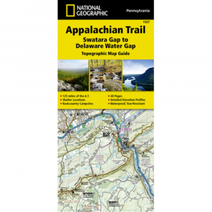
National Geographic Appalachian Trail, Swatara Gap To Delaware Water Gap Topographic MapDay trippers and thru hikers alike will be glad they brought a map on the Appalachian Trail. Covering the northeastern Pennsylvania section of the trail from the Swatara Gap to the Delaware Water Gap, this map guides you through flat, rocky ridges mixed with strenuous climbs. . . Printed on waterproof tear resistant paper. Full UTM grid to aid with GPS navigation. 4 14 in. x 9 38 in. folded. Scale 1:63,350. Includes detailed topographic maps at a detail of 1 in. 1 mile. Each page is centered on the Appalachian Trail and overlaps adjacent pages. Trail profile shows distance between shelters, camping areas, and trail access points. Step by step visual guide. Clearly marked trails for hiking, biking, horseback riding, ATV, and more. Color coded boundaries of state parks, national recreation areas, wilderness areas, marine sanctuaries, and wildlife refuges. Hundreds of points of interest, including: scenic viewpoints, campgrounds, boat launches, swimming areas, fishing access points, and more.. Detailed road network. AC 2014.
|
Copy the following string into an e-mail to support@ultrarob.com to request support.
Mozilla/5.0 AppleWebKit/537.36 (KHTML, like Gecko; compatible; ClaudeBot/1.0; +claudebot@anthropic.com)
 Blog Feed
 Follow on Twitter
 Become a Facebook Fan
 Flickr
 MySpace