|
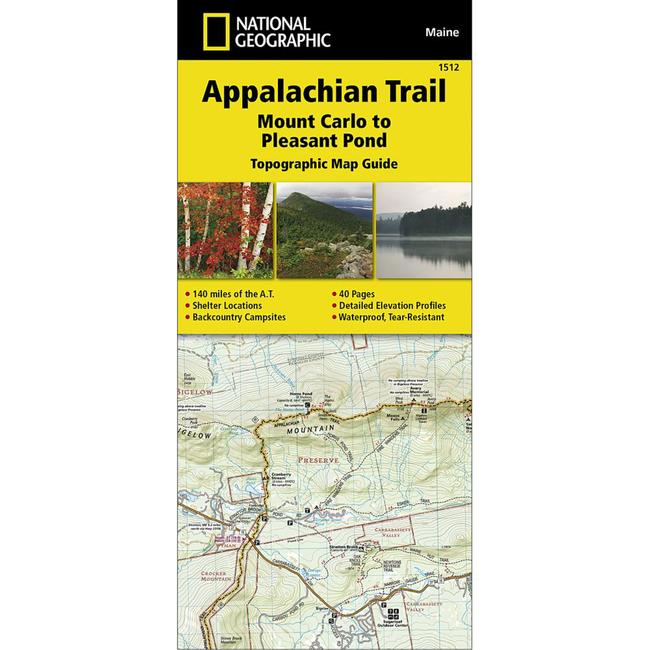
National Geographic Appalachian Trail Mount Carlo to Pleasant Pond Topographic Map GuideBring along the detailed National Geographic Mount Carlo to Pleasant Pond topographic map guide when you traverse the southern Maine section of the Appalachian Trail.
|
Copy the following string into an e-mail to support@ultrarob.com to request support.
Mozilla/5.0 AppleWebKit/537.36 (KHTML, like Gecko; compatible; ClaudeBot/1.0; +claudebot@anthropic.com)
Email: web@ultrarob.com
 Blog Feed
 Follow on Twitter
 Become a Facebook Fan
 Flickr
 MySpace