|
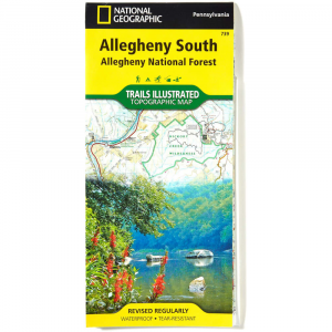
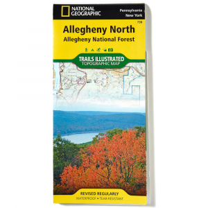
Nat Geo Alleghany National Forest Map, NorthDesigned to meet the needs of outdoor enthusiasts, this map is created in conjunction with local land management agencies and is loaded with valuable information.. . . . . Waterproof and tear resistant construction. Clearly marked hiking, biking, and horse riding trails. Clearly defined, color coded park boundaries. Hundreds of points of interest listed. UTM, LatitudeLongitude grid, select waypoints, and a scale bar for easy and accurate navigation. Detailed road network. Important safety information and tips, as well as information on local agencies and organizations. Flat Size: 38 x 26 in.. Folded Size: 9.25 x 4.25 in.. Scale: 1:70,000.
|
Copy the following string into an e-mail to support@ultrarob.com to request support.
Mozilla/5.0 AppleWebKit/537.36 (KHTML, like Gecko; compatible; ClaudeBot/1.0; +claudebot@anthropic.com)
Email: web@ultrarob.com
 Blog Feed
 Follow on Twitter
 Become a Facebook Fan
 Flickr
 MySpace