|
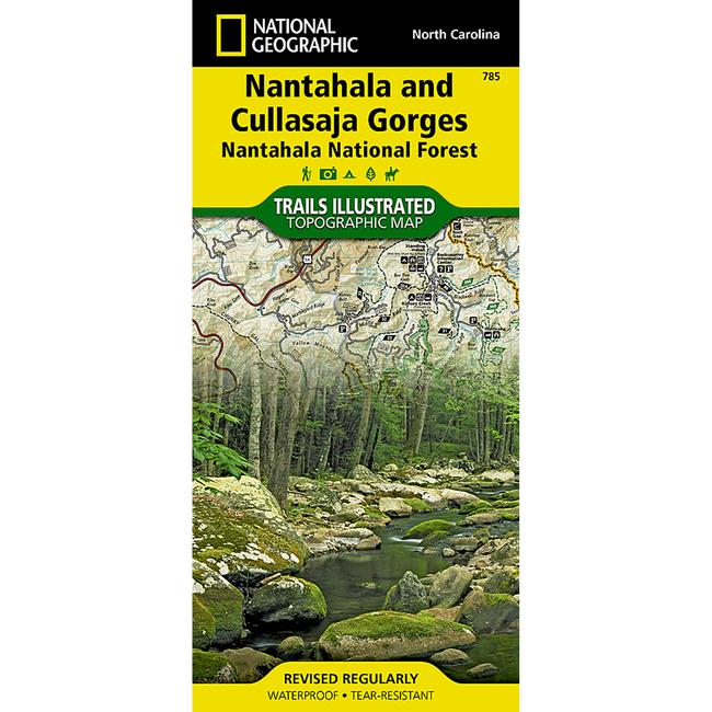
Nantahala and Cullasaja Gorges Trail MapThis National Geograpic Trails Illustrated topographic map is the most comprehensive recreational map for the Nantahala Cullasaja Gorges area of North Carolina. Coverage includes: Nantahala National Forest Nantahala Cullasaja Gorges area Ellicott Rock and Middle Prong Wilderness Areas Blue Ridge Parkway Chattooga Wild and Scenic River towns of Franklin, Sylva, Highlands, and Cashiers.
|
Copy the following string into an e-mail to support@ultrarob.com to request support.
Mozilla/5.0 AppleWebKit/537.36 (KHTML, like Gecko; compatible; ClaudeBot/1.0; +claudebot@anthropic.com)
Email: web@ultrarob.com
 Blog Feed
 Follow on Twitter
 Become a Facebook Fan
 Flickr
 MySpace
Similar Gear
| ||
| ||
| ||
| ||
|