Mammoth Cave National Park Trail Map

Mammoth Cave National Park Trail Map

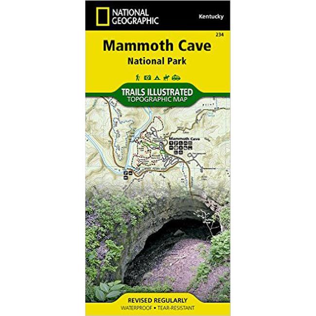
This National Geographic topographic map covers Mammoth Cave and its surrounding area in west central Kentucky. The map includes the Green River, Nolin River, First Creek Lake, the city of Brownsville, Collie, Maple Springs, Houchins Ferry, Dennison Ferry, Mammoth Cave Ridge, Woolsey Valley, Doyel Valley, Jim Lee Ridge, and much more. The second side of the map shows a detailed inset of the cave area, along with general information about the park and the cave. Includes UTM grids for use with your GPS.

Price:  $10.76 on sale  from  CampSaver.com

Show All Prices

No one has reviewed this item yet. Be the first to review it and help others decide whether to buy it.
Your Rating (required) Your Comments (required). Please provide some helpful information to others that are considering buying this item.
Your review will appear on the website after it has been approved. Thank you for your contribution.
Your browser isn't supported for displaying eBay items. Go to eBay to search for Mammoth Cave National Park Trail Map.

Copy the following string into an e-mail to support@ultrarob.com to request support.
Mozilla/5.0 AppleWebKit/537.36 (KHTML, like Gecko; compatible; ClaudeBot/1.0; +claudebot@anthropic.com)

Email: web@ultrarob.com

Business Seal       Privacy Seal


Similar Gear

Trails Illustrated Map Mammoth Cave National Park
Price: $11.95
 
Chilkoot Trail / Klondike Gold Rush National Historic Park Trail Map
Regular Price: $9.56
$8.60 on sale
 
Canyonlands National Park Trail Map
Regular Price: $11.95
$10.76 on sale
 
Redwood National Park Trail Map
Regular Price: $11.95
$9.56 on sale
 
Arches National Park Trail Map
Regular Price: $11.95
$9.56 on sale