|
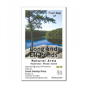
Printed on two sides on high quality, waterproof, tear resistant synthetic paper, this detailed map covers the Long and Ell Ponds natural area of Rhode Island. . This protected area is composed of different parcels of land that are owned and collectively managed by the Rhode Island Department of Environmental Management, the Audubon Society of Rhode Island, and The Nature Conservancy. Narragansett Trail passes through the area and is the only way to see this stunning preserve.. Map dimensions: 17.375 x 9.25 in.. Folded dimensions: 3.5 x 4.625 in.
|


 Blog Feed
 Follow on Twitter
 Become a Facebook Fan
 Flickr
 MySpace