|
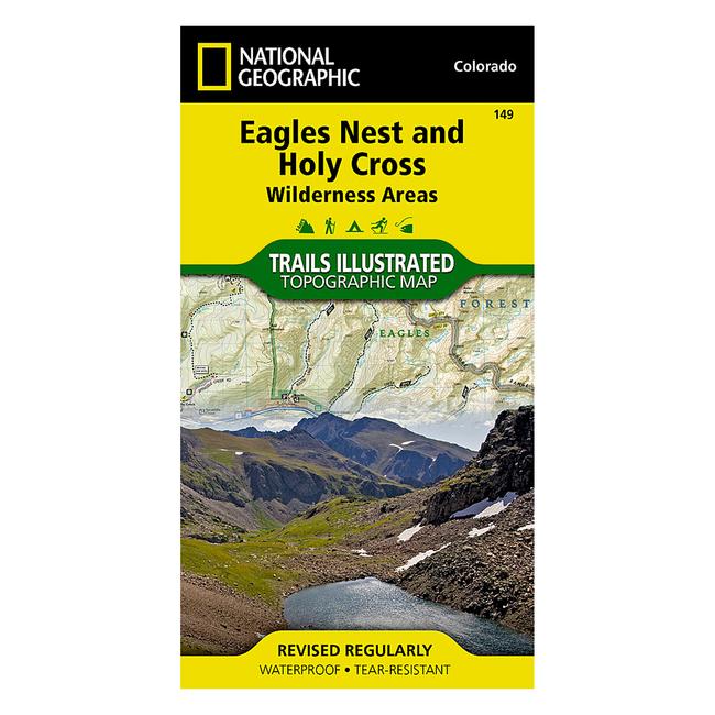
National Geographic's Trails Illustrated map of Holy Cross and Eagles Nest Wilderness is a two sided, waterproof map designed to meet the needs of outdoor enthusiasts with unmatched durability and detail. This map was created in conjunction with local land management agencies and is loaded with valuable recreation information. The front side of Eagles Nest and Holy Cross Wilderness map details the north side of the area, including Arapaho National Forest, White River National Forest, Eagles Nest Wilderness, Ptarmigan Peak Wilderness and Byers peak Wilderness. The insets show survival tips, wilderness conduct, and contact information to local National Forests. The reverse side of the map details the south side of the area, including White River National Forest, San Isabel National Forest, Pike National Forest, River National Forest, Hunter Fryingpan Wilderness and Mount Massive Wilderness.
|


 Blog Feed
 Follow on Twitter
 Become a Facebook Fan
 Flickr
 MySpace