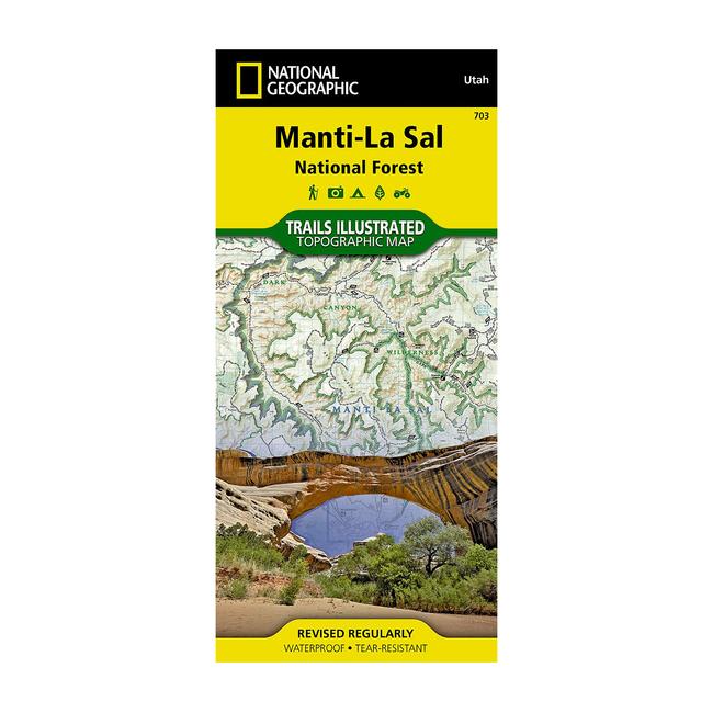
|
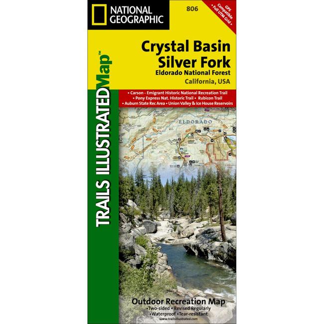
Part of NG's coverage for California's Central Sierra Nevada, the Crystal Basin Silver Fork Trails Illustrated map details the high use recreation areas of Eldorado National Forest stretching from Hell Hole Reservoir and Tahoe National Forest at the North, to Salt Springs Reservoir and Stanislaus National Forest to the South. This popular stretch of the Sierras contains year round recreation opportunities for outdoor enthusiasts of all interests. Crystal was developed in cooperation with the Eldorado National Forest Interpretive Association, ensuring the accuracy of information. Coverage Highlights: High Use areas of Eldorado National Forest Auburn State Recreation Area Western extent of the Desolation Wilderness Rubicon Trail Highway 50 Corridor Carson Emigrant National Recreation Trail Portions of the Pony Express National Historic Trail Camp Eldorado Minkalo BSA Middle and South Forks of the American River Rubicon River Ice House, Union Valley, and Salt Springs Reservoirs Hiking, Biking, Horse, Multi Use, OHV, and Snowmobile Trails Forest Service Roads with Numbers Public and Private Land Boundaries UTM and LatLon Grids and Select Waypoints.
|


 Blog Feed
 Follow on Twitter
 Become a Facebook Fan
 Flickr
 MySpace