|
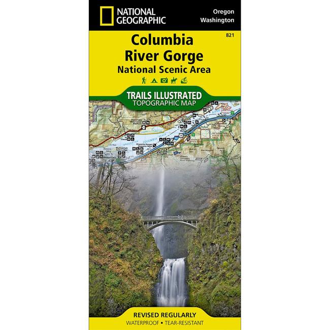
This Trails Illustrated topographic map is the most comprehensive recreational map for the Columbia River Gorge areas of Washington and Oregon. The 80 mile long gorge contains diverse ecosystems ranging from the lush Oneonta Gorge Rain Forest to the arid Celilo Grasslands.Areas included on the map: Mark O. Hatfield Wilderness Area White Salmon, Klickitat, Sandy, and Lower Deschutes Wild and Scenic Rivers Pacific Crest and Oregon Trails Mount Hood, Columbia River Gorge, Historic Columbia River Highway, and Yakima Scenic Byways Hood River County Northwest OHV Area National Wildlife Refuges Washington and Oregon State and County Parks, and much more.
|


 Blog Feed
 Follow on Twitter
 Become a Facebook Fan
 Flickr
 MySpace