|
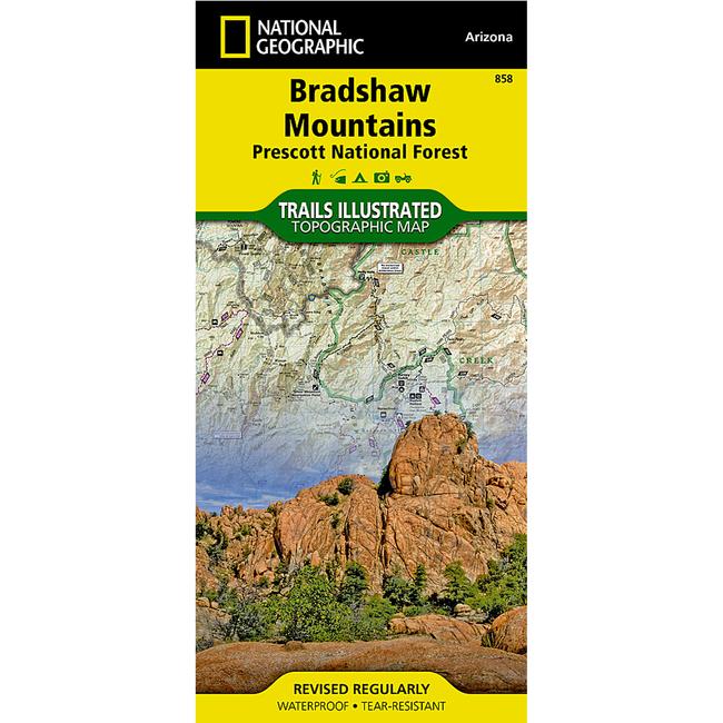
One of five new National Geographic Trails Illustrated maps for Coconino and Prescott National Forests in Arizona offering the most detailed and up to date map for the area. These maps are carefully researched and developed in co operation with local land managers and agencies. Each map contains easy to read trails, numbered forest service roads, campsites, access points, scenic points of interests, and important facilities.Coverage Highlights: Castel Creek Granite Mountain Wilderness Areas, Agua Fria River, Scenic Byways and Routes, Hiking Trails, Mountain Biking, Campgrounds, Horseback Riding.Wilderness Coverage: Castel Creek, Granite Mountain.Other Attractions: Cellers Basin, Black Canyon, Black Mesa, Sycamore Mesa.More than just a map, National Geographic Trails Illustrated topographic maps are designed to take you into the wilderness and back. Printed on tear resistant, waterproof material, this map can go anywhere you do. Each map is based on exact reproductions of USGS topographic map information, updated, customized, and enhanced to meet the unique features of each area. The maps include valuable wilderness tips and Leave No Trace guidelines, along with updated trails, trailheads, points of interest, campgrounds, and much more. With a new color palette and stunning shaded relief, backcountry navigation has never been easier.
|


 Blog Feed
 Follow on Twitter
 Become a Facebook Fan
 Flickr
 MySpace