|
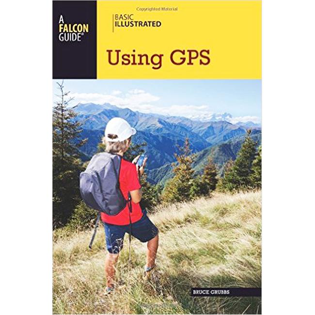
Basic Illustrated Using GpsRichly illustrated and information packed, the Basic Illustrated: Using Gps, is the must have guide for folks starting out and old hands alike. Discover how to: Pick the best GPS receiver for your specific needs Read and pregrid topographic maps Identify waypoints with various coordinate systems Use GPS to navigate on land and water Create your own maps with GPS software
|
Copy the following string into an e-mail to support@ultrarob.com to request support.
Mozilla/5.0 AppleWebKit/537.36 (KHTML, like Gecko; compatible; ClaudeBot/1.0; +claudebot@anthropic.com)
Email: web@ultrarob.com
 Blog Feed
 Follow on Twitter
 Become a Facebook Fan
 Flickr
 MySpace
Similar Gear
| ||
| ||
| ||
| ||
|