|
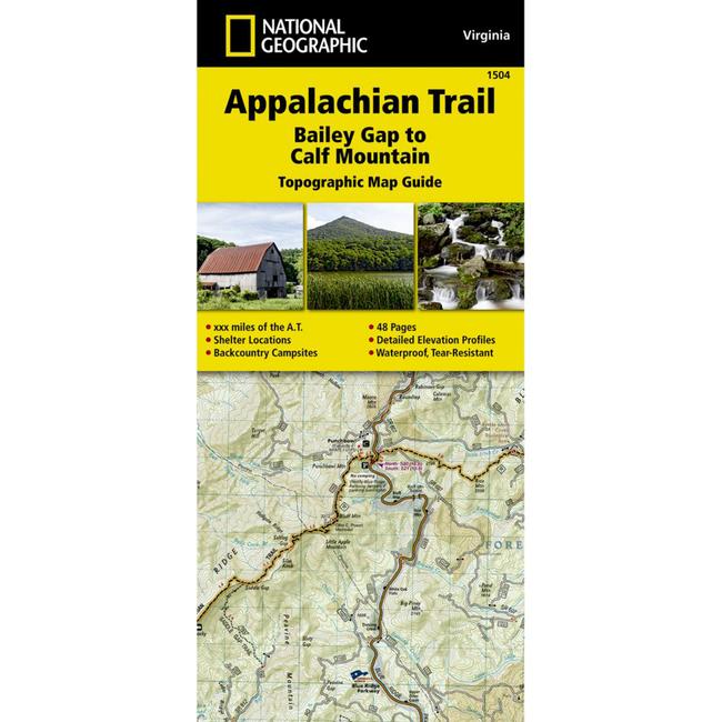
The Bailey Gap to Calf Mountain Topographic Map Guide makes a perfect traveling companion when traversing the central Virginia section of the Appalachian Trail A.T.. The A.T. in central Virginia falls mostly within National Forest land, traveling through mature forests and over high mountain summits. The trail becomes more difficult as hikers go farther south, traversing the A.T.'s northernmost balds, past interesting rock formations, and over notable peaks, such as the Priest, McAfee Knob, and Dragon's Tooth. Our Trails Illustrated topographic maps are the most detailed and up to date recreation maps available for the national parks, national forests, and popular outdoor recreation areas. A necessity for exploring in the outdoors, each map is printed on waterproof, tear resistant paper.
|


 Blog Feed
 Follow on Twitter
 Become a Facebook Fan
 Flickr
 MySpace