|
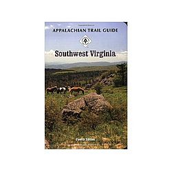
This guide covers 163 miles, from Pearisburg, Virginia, on the New River to the Tennessee border south of Damascus, Virginia, including parts of the George Washington Jefferson National Forest, with a separate description for the Iron Mountain Trail. A must for through hikers, it includes a guidebook plus topographical and profile maps that are tear and water resistant. 222 page softcover book 3rd edition 2002 size: 4 12 x 6 12 inches. Five multicolor topographic maps on three sheets, with elevation profiles scale, 1:63,360. Map 1: Mount Rogers National Recreation Area. Map 2: Wythe Ranger District. Map 3: New River Valley Ranger District.
|


 Blog Feed
 Follow on Twitter
 Become a Facebook Fan
 Flickr
 MySpace