|
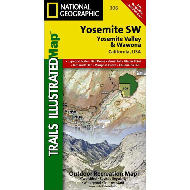
This Trails Illustrated topographic map is the most comprehensive recreational map for the Yosemite Valley and Wawona area of Southwest Yosemite National Park. Coverage includes: Half Dome El Capitan Yosemite, Vernal and Nevada Falls Little Yosemite Valley Tenaya Canyon Indian Rock Yosemite Creek Glacier Point Merced Gorge Tamarack Flat Tuolumne Grove of Giant Sequoias Big Oak Flat Entrance Aspen Valley White Wolf Tioga Pass Road May Lake El Portal Foresta Mariposa Grove of Giant Sequoias Chilnualna Falls Buena Vista Pass Badger Pass Bridalveil Creek and John Muir Trail. Includes information on: wilderness boundaries no camping zones no campfire zones and trail mileage.
|


 Blog Feed
 Follow on Twitter
 Become a Facebook Fan
 Flickr
 MySpace