|
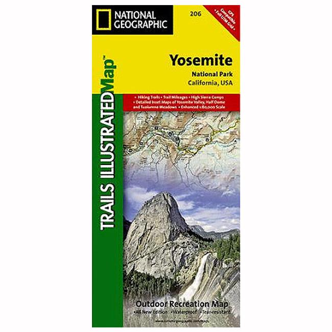
Explore the majesty of Yosemite National Park with National Geographics Trails Illustrated map. Loaded with helpful information on camping, hiking, lodging, transportation, regulations, and safety, this map is an invaluable tool for casual park visitors and avid adventurers alike. Expertly researched and created in partnership with local land management agencies, the map features key areas of interest including Stanislaus National Forest, Emigrant Wilderness, Carson Iceberg Wilderness, Toiyabe National Forest, Hoover Wilderness, Inyo National Forest, Yosemite Wilderness, Sierra National Forest, and Ansel Adams Wilderness. Detail of the popular Tuolumne Meadows and Yosemite Valley are provided in inset maps. Other features found on this map include: Bridalveil Fall, Cathedral Range, Chowchilla Mountains, El Capitan, El Portal, Excelsior Mountain, Illilouette Falls, Lake Eleanor, Lee Vining, Lower Yosemite Fall, Mather, Matterhorn Peak, Mount Dana, Mount Lyell, Mount Ritter, Nevada Fall, Ribbon Fall, Ritter Range, Silver Strand Falls, Tioga Pass, Upper Yosemite Falls, Vernal Fall, Wawona, Yosemite National Park, Yosemite Valley, Yosemite Village, California.
|


 Blog Feed
 Follow on Twitter
 Become a Facebook Fan
 Flickr
 MySpace