|
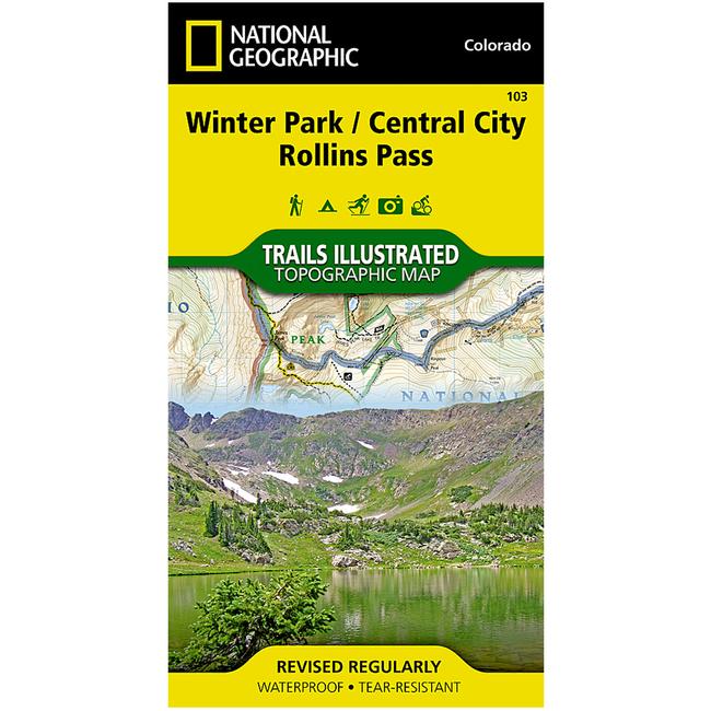
The Winter ParkCentral CityRollins Pass Trails Illustrated map is the most comprehensive recreational map for the forest and wilderness areas surrounding and including Indian Peaks Wilderness, Winter Park, and Fraser, Colorado. Coverage includes Roosevelt and Arapaho national forests, Indian Peaks and Byers Peak Wilderness, Eldora, Central City, Empire, Fraser and Winter Park, Berthoud Pass, Fraser River, Clear Creek, St. Mary's Glacier and Peterson lakes. Also includes Fraser Experimental Forest, and a portion of the Continental Divide Trail. Ski Areas: Eldora, Winter Park and Mary Jane, Devils Thumb cross country ski area. Includes UTM grids for use with your GPS unit.
|


 Blog Feed
 Follow on Twitter
 Become a Facebook Fan
 Flickr
 MySpace