|
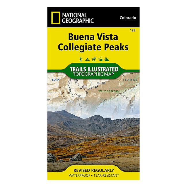
129 Buena VistaCollegiate Peaks Trail Map The Buena Vista Collegiate Peaks Trails Illustrated map is the most comprehensive and complete recreational map for this popular area in the heart of the mountains of Colorado. Coverage includes Gunnison and San Isabel national forests Collegiate Peaks Wilderness the cities of Buena Vista, Princeton, Rockdale and Winfield Cottonwood, Hartenstein and Bear lakes the Arkansas River Cottonwood and Browns passes. 14ers: Mt Oxford, Belford, Harvard, Columbia, Yale, Missouri Mountain and Huron Peak. a Approximately 4 x 7 12 folded 22 x 32 fully opened a Scale 1:40,680 a Waterproof, tear resistant
|


 Blog Feed
 Follow on Twitter
 Become a Facebook Fan
 Flickr
 MySpace