|
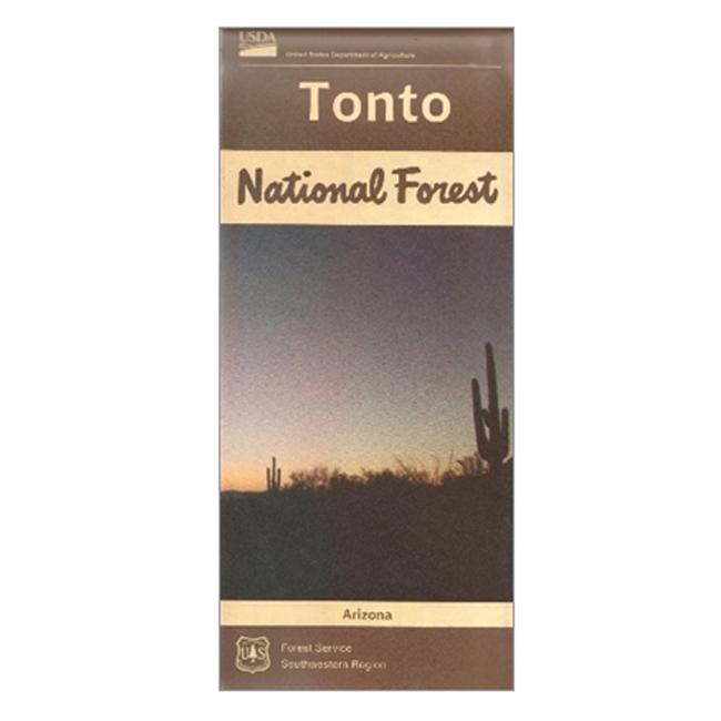
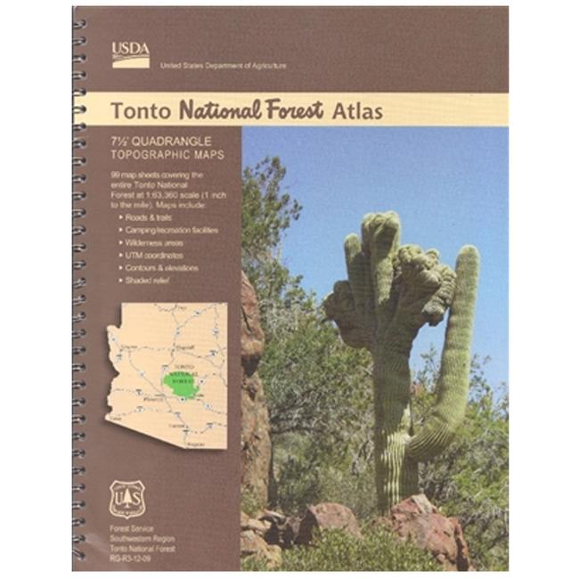
National Forest Atlases are full color atlases, containing 8.5 x 11 inch topographic quadrangle maps at 1 inch to the mile scale. The Tonto National Forest lies in central Arizona and consists of 99 quadrangles covering 6 ranger districts: Cave Creek, Globe, Mesa, Payson, Pleasant Valley, and Tonto Basin. Tonto National Forest encompasses almost 3 million acres of rugged country, ranging from saguaro cactur studded desert to pine forested mountains beneath the Mogollon Rim connected by a series of scenic drives. This unique variety in vegetation and range in altitude from 1,300 to 7,900 feet offers outstanding recreational oppoetunities throughout the year.
|


 Blog Feed
 Follow on Twitter
 Become a Facebook Fan
 Flickr
 MySpace