|
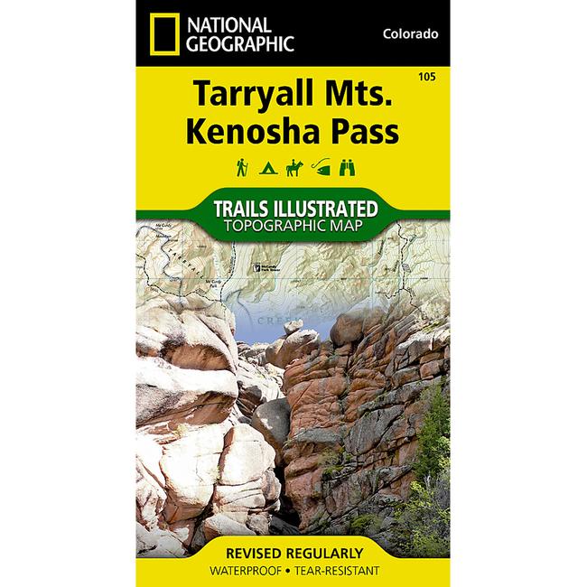
Expertly researched and created in partnership with local land management agencies, National Geographics Trails Illustrated map of Tarryall Mountains and Kenosha Pass provides an unparalleled tool for exploring this region of Colorados Rocky Mountains. Whether camping, hiking, snowmobiling, fishing, climbing, or biking, this map will prove invaluable in making the most of your outing. Key areas of interest featured on this map include Pine Valley Ranch Park the Kenosha, Bison, Stoney and Hankins passes Tarryall Reservoir the North Fork of South Platte Wellington Lake and a segment of the Colorado Trail. Designed with a wide range of visitors in mind, this map features detailed and easy to read trails, accurate road network, campgrounds, fishing areas, trailheads, climbing areas, and more. Trail use is clearly marked showing routes for hiking, mountain biking, snowmobiling, and other motorized vehicle use. The map base includes contour lines and elevations for summits, passes and many lakes.
|


 Blog Feed
 Follow on Twitter
 Become a Facebook Fan
 Flickr
 MySpace