|
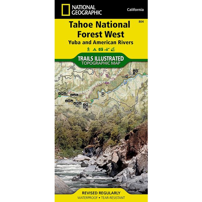
This National Geographic Trails Illustrated topographic map is the most comprehensive recreational map for the Yuba and American Rivers area of the Tahoe National Forest. The map shows all trails, campsites, and recreational features.Coverage includes Granite Chief Wilderness, Pacific Crest National Scenic Trial, American North Fork Wild and Scenic River, Downieville, Hwy 49 Corridor, New Bullards Bar Res., Saddleback Mtn, Highway 20, Forest Divide, Sugar Pine Res., French Meadows Res., Lake Valley Res., Cascade Lakes, Squaw Valley. Towns: Nevada City, Camptonville, Downieville, Foresthill, Soda Springs. Other highlights: Donner National Scenic Byway, Malakoff Diggins State Historic Park.
|


 Blog Feed
 Follow on Twitter
 Become a Facebook Fan
 Flickr
 MySpace