|
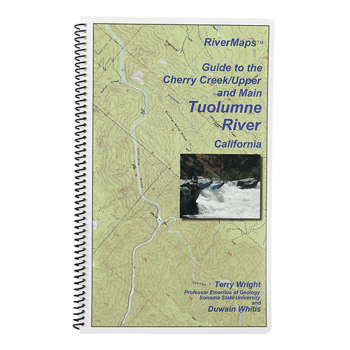
Running the T is a premier North American whitewater experience, but the fun is proportional to the complexity of logistics. This RiverMapsTM Guide gives you the info you need to get it right. Includes info on getting to the river, preparing equipment, shuttles, navigating rapids and year to year variables that could affect your trip. Covers the Cherry Creek, Upper and Main sections of the Tuolumne River. A favorite with river runners everywhere, RiverMaps guidebooks are a boating essential. Spiral bound format with full color topo maps on right side and complete text descriptions on the facing page. Excellent mile by mile information on rapids, campgrounds, geological features, historical sites and reference points. The topo maps are the same scale as the original USGS maps. The contour lines and accurate shape of the river really help you keep track of where you are. Features detailed descriptions of the Tuolumne's rich geological history. The high quality waterproof paper really stands up to the soaking it's going to get! Authors: Tom Martin Duwain Whitis Copyright: 2011 Size: 9w x 14h waterproof paper Pages: 28 Map Pages: USGS 7.5 color topo reproductions Scale: 2,000 feet per inch 1:24,000
|


 Blog Feed
 Follow on Twitter
 Become a Facebook Fan
 Flickr
 MySpace