|
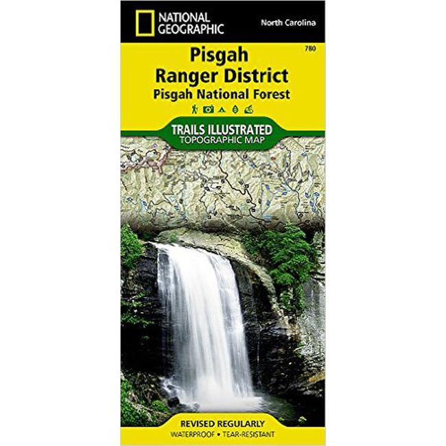
Pisgah National Forest Trail MapThis National Geographic Trails Illustrated topographic map is the most comprehensive recreational map for North Carolina's Pisgah Ranger District area. Coverage includes Pisgah National Forest Shining Rock and Middle Prong wilderness areas Bent Creek Research and Demonstration Forest North Carolina Arboretum Blue Ridge Parkway Mountains to Sea Trail Looking Glass Rock Cold Mountain Sliding Rock and Mount Pisgah recreation areas Looking Glass Falls and the Cradle of Forestry in America National Historic Site.
|
| Merchant | Price | Regular Price | |
|---|---|---|---|
| CampSaver.com | $9.56 on sale | $11.95 |
Copy the following string into an e-mail to support@ultrarob.com to request support.
Mozilla/5.0 AppleWebKit/537.36 (KHTML, like Gecko; compatible; ClaudeBot/1.0; +claudebot@anthropic.com)
Email: web@ultrarob.com
 Blog Feed
 Follow on Twitter
 Become a Facebook Fan
 Flickr
 MySpace