|
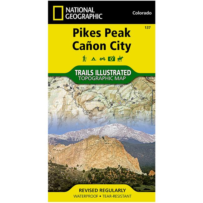
The Pikes PeakCanon City Trails Illustrated map is the most comprehensive recreational map for this popular 14er and surrounding area west of Colorado Springs. Coverage includes: Pike National Forest Beaver Creek and McIntyre Hills Wilderness Study Area Mueller State Park Florissant Fossil Beds National Monument Red Canyon and Royal Gorge Parks cities of Colorado Springs, Woodland Park, Manitou Springs, Lake George, Tarryall, Parkdale, Canon City, Victor, Cripple Creek and Gillette Elevenmile, North Slope, Skagway and Rampart reservoirs Arkansas River Fountain Creek and Beaver Creek and the U.S. Air Force Academy. 14ers: Pikes Peak. This revised map is updated with new shaded relief and contours. The trails have been enhanced and road and trail mileage have been added to create a more usable map. UTM grids have been added to make it more usable with your GPS.
|


 Blog Feed
 Follow on Twitter
 Become a Facebook Fan
 Flickr
 MySpace