|
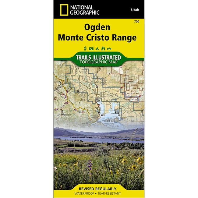
National Geographic's Trails Illustrated map of Ogden, Monte Cristo Range in Utah is a two sided, waterproof map designed to meet the needs of outdoor enthusiasts with unmatched durability and detail. This map was created in conjunction with local land management agencies and is loaded with valuable recreation information. Trails Illustrated maps are expertly researched and frequently updated. The maps are printed in the United States on durable synthetic paper, making them waterproof, tear resistant, and trail tougha capable of going anywhere you do.Coverage includes Cache and Wasatch national forests, Wellsville Mountain Wilderness, Ogden, Brigham City, Antelope Island State Park, and Bountiful. Pineview Reservoir with its many recreation points of intertest is also part of the map coverage. The trails in the Wasatch Range from Brigham City in the north to Bountiful in the south are all clearly shown. The recreation opportunities within the Monte Cristo Range are also a primary feature of this map. Includes UTM grids for use with your GPS unit.
|


 Blog Feed
 Follow on Twitter
 Become a Facebook Fan
 Flickr
 MySpace