|
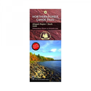
Navigate your way through the final section of the Northern Forest Canoe Trail from Umsaskis Lake to the historic St. John River with NFCT Map 13 and paddle in waters first paddled by Abenaki hunters, past early European settlements, and along shorelines that hold ghost stories and relics of logging days. . Full color map printed on waterprooftear proof paper. Covers the end of the NFCT in the Allagash region of northern Maine. Includes put in points, portages, campsites, local contact information, and permit guidelines. Provides extensive natural and human history information. Folded dimensions: 9.2 x 4 in.
|


 Blog Feed
 Follow on Twitter
 Become a Facebook Fan
 Flickr
 MySpace