|
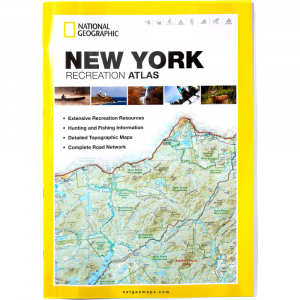
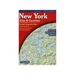
Find your way through New York while hitting all the best spots with the Delorme New York Atlas Gazetteer. From scenic drives to places to camp, Delorme has you covered. PRODUCT FEATURES: Scale: 1:127,000 12 miles Contour Interval: 200 feet Each Page Covers: 22.2 miles x 28 miles GPS: Grids tick marks Index: Placenames Pages: 105 pp. of maps, 2 pp. of Manhattan detail, 120 pp. in all Copyright: 2011 Map detail commonly includes: Back roads, dirt roads and trails Elevation contours Remote lakes and streams Boat Ramps Public lands for recreation Land use land cover forests, wetlands Trailheads Campgrounds Prime hunting and fishing spots Each Gazetteer entry's location is cross referenced to the corresponding map. New York Gazetteer categories Campgrounds Family Outings Fishing Hunting Outdoor Adventures Recreation Areas Unique Natural Features 240032 , delorme new york Atlas Gazetteer , new york Atlas Gazetteer delorme , delorme new york Atlas , new york Atlas delorme , delorme new york Gazetteer , new york Gazetteer delorme , maps , atlas , atlases , gazetteers , guides , delorme maps , delorme atlas , delorme atlases , delorme gazetteers , delorme guides
|


 Blog Feed
 Follow on Twitter
 Become a Facebook Fan
 Flickr
 MySpace