|
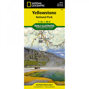
National Geographic Trails Illustrated Yellowstone National Parks Map WYThis Trails Illustrated National Geographic detailed and accurate coverage for Yellowstone National Park. Includes a detailed road network and popular trails, complete with use restrictions, mileages, elevation gains, and difficulty ratings. Popular attractions and park services are clearly identified. UTM and LatitudeLongitude grids ensure ease of use with GPS or compass navigation. Covers areas in Wyoming, Montana Idaho. This map is durable and tough and great in the rain. More than just a map, National Geographic Trails Illustrated topographic maps are designed to take you into the wilderness and back. Printed on tear resistant, waterproof material, this map can go anywhere you do. Each map is based on exact reproductions of USGS topographic map information, updated, customized, and enhanced to meet the unique features of each area. The maps include valuable wilderness tips and Leave No Trace guidelines, along with updated trails, trailheads, points of interest, campgrounds, and much more. With a new color palette and stunning shaded relief, backcountry navigation has never been easier. Approximately 4 14 x 9 folded 25 12 x 37 34 fully opened Scale 1:126,720 Map revised 2008. Waterproof Tear resistant paper Includes complete area and emergency info.
|
| Merchant | Price | Regular Price | |
|---|---|---|---|
| Campmor | $11.95 | $11.95 |
Copy the following string into an e-mail to support@ultrarob.com to request support.
Mozilla/5.0 AppleWebKit/537.36 (KHTML, like Gecko; compatible; ClaudeBot/1.0; +claudebot@anthropic.com)
 Blog Feed
 Follow on Twitter
 Become a Facebook Fan
 Flickr
 MySpace