|
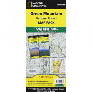
National Geographic Trails Illustrated Green Mountain National Forest South VTThe National Geographic Trails Illustrated Map of the Green Mountains National Forest North Robert T. Stafford White Rocks NRA Manchester, VT is the best area map for this rugged section of the gorgeous state we call Vermont. These maps are tear and water resistant for years of use. Printed in multi colors for your map reading ease and enjoyment. This map contains easy to read trails, numbered forest service roads, campsites, access points, scenic and historic points of interests, and important facilities. These carefully researched maps are developed in cooperation with local land managers and agencies. Green Mountain National Forest covers more than 400,000 acres that stretch across nearly two thirds the length of Vermont. GPS compatible with full UTM grids. Approximately 4x 7 12folded 18 34x 25 12fully opened Scale: 1:70,000 1 1.1 miles Contour Interval 50 feet Map revised 2010 Features Included: Big Branch, George Aiken, Glastenbury, Lye Brook Peru Peak Wilderness Areas, Long Trail National Recreation Trail, Appalachian, Catamount Long Trails, state parks, ski areas, heritage sites, winter recreation and sports areas, hiking trails, mountain biking, campgrounds, fishing, cross country skiing and support centers, overlap with Trails Illustrated White Mountains coverage, and much more. Waterproof Tear resistant paper Includes complete area and emergency info ISBN 9781566955126 GPS compatible with full UTM grids.
|
| Merchant | Price | Regular Price | |
|---|---|---|---|
| Campmor | $11.95 | $11.95 |
Copy the following string into an e-mail to support@ultrarob.com to request support.
Mozilla/5.0 AppleWebKit/537.36 (KHTML, like Gecko; compatible; ClaudeBot/1.0; +claudebot@anthropic.com)
 Blog Feed
 Follow on Twitter
 Become a Facebook Fan
 Flickr
 MySpace