|
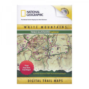
Print detailed, up to date trail maps for your favorite places in the White Mountains. Works with both Mac and PC computers. . Contains two Trails Illustrated maps covering the White Mountains including: Franconia Notch, Lincoln, The Presidential Range, Gorham, and the Appalachian Trail. Over 3,000 square miles of map. Features expertly researched trails with ratings and descriptions, campsites, parking areas, and more. Easy to use tools for printing, searching, and customizing high quality trail maps add symbols, notes, photos. A great complement to handheld GPS: transfer routes, waypoints, and tracks. Use the trail highlighter tool to calculate accurate distances, create elevation profiles, and even see a 3D fly through. Works with both Mac and PC computers
|


 Blog Feed
 Follow on Twitter
 Become a Facebook Fan
 Flickr
 MySpace