|
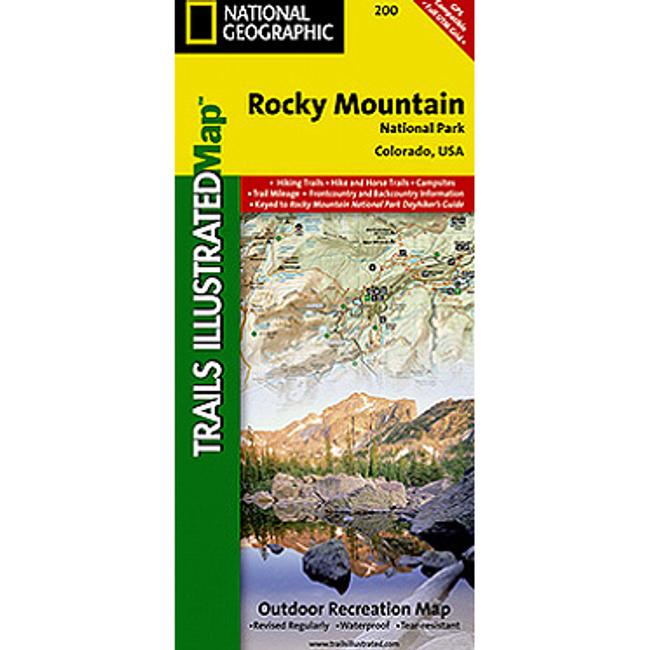
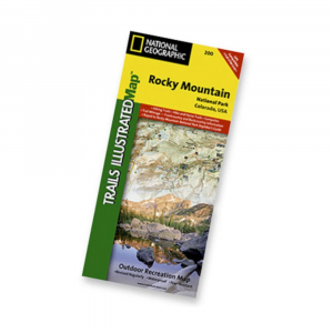
Nat Geo's Trails IllustratedTM topographical maps, based on USGS information, are designed to take you into the wilderness and back. The Rocky Mountain National Park Map shows hiking and horse trails, campsites, trail mileage, frontcountry and backcountry information. Coverage includes Rocky Mountain National Park, Arapaho and Roosevelt National Forest, Never Summer Wilderness, Arapaho National Recreation Area, and the cities of Granby and Estes Park. Revisions to this map include easy to read trail mileage and markers, hiking only and hike and horse trails are easily distinguished, Federal, State and Private lands are clearly marked, and the Continental Divide Trail is highlighted. Includes UTM grids for use with your GPS unit. Includes safety and survival tips Leave No Trace Outdoor Ethics visitor information. Printed on waterproof, tear resistant material with a plastic coating that offers supreme durability. Dimensions: 4.25 x 9.25 inches folded 27 x 39 inches fully opened. Scale 1:50,000. Map revised 2008.
|


 Blog Feed
 Follow on Twitter
 Become a Facebook Fan
 Flickr
 MySpace