|
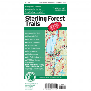
Located 45 miles from NYC, the mapped area includes the entire 18,000 acres of Sterling Forest State Park and portions of several contiguous publicly owned parklands in both NY and NJ. All digitally produced map features Appalachian National Scenic Trail, NY NJ Highlands, Sterling Ridge, Allis, Indian Hill Loop trails, Cascade Lake Park, Harriman, Long Pond Ironworks, Ringwood state parks. UTM grid lines, shaded relief, green overprint for public access lands, mountain viewpoints, mines, streams, wetlands, parking. 1 map set Printed on waterproof tearproof tyvek sheets Printed in 6 colors for your map reading comfort Trail listings by color and location Features 20ft contour intervals. Hunting Permitted areas are specially shaded. Historical notes and features View points Parking information Water sources Appalalchian Trail Ringwood State Park Sterling Ridge Cascade Lake Park Tranquility Ridge County Park Publisher New York New Jersey Trail Conference Year 6th edition 2013 ISBN 9781880775820.
|


 Blog Feed
 Follow on Twitter
 Become a Facebook Fan
 Flickr
 MySpace