|
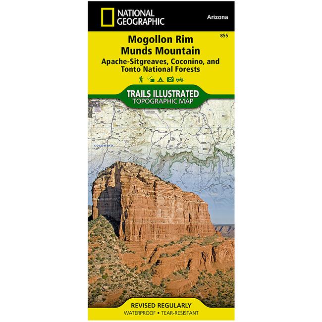
Mogollon Rim/Munds Mountain Apache Sitgreaves, Coconino & Tonto National ForestsEvery National Geographic Trails Illustrated map is an essential tool for safely navigating the backcountry with GPS or compass as they are clearly marked with both LatitudeLongitude and UTM coordinate grids, compass rose with magnetic declination, scale bar, and full legend. Some of the places shown on the west side of the Mogollon RimMunds Mountain map include: Coconino National Forest, Munds Mountain Wilderness, Wet Beaver Wilderness, West Clear Creek Wilderness, Fossil Springs Wilderness, Sedona, Lake Montezuma, Verde Wild and Scenic River, Mogollon Rim, Arizona Trail, and more. The east side of the map features: Coconino National Forest, Apache Sitgreaves National Forest, Arizona Trail, Mogollon Plateau, and more.
|
| Merchant | Price | Regular Price | |
|---|---|---|---|
| Summit Hut | $11.95 | $11.95 |
Copy the following string into an e-mail to support@ultrarob.com to request support.
Mozilla/5.0 AppleWebKit/537.36 (KHTML, like Gecko; compatible; ClaudeBot/1.0; +claudebot@anthropic.com)
Email: web@ultrarob.com
 Blog Feed
 Follow on Twitter
 Become a Facebook Fan
 Flickr
 MySpace