|
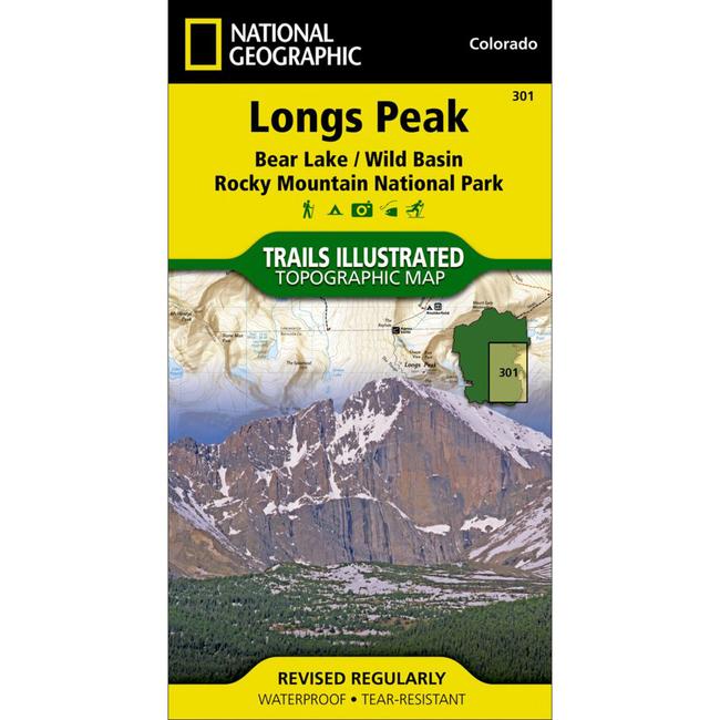
Longs and McHenrys Peak Trail MapThis National Geographic Trails Illustrated topographic map is the most comprehensive recreational map for the Longs Peak, Bear Lake, and Wild Basin areas of Rocky Mountain National Park in Colorado. The map's shaded relief makes it easy to see the lay of the land, and it has a full UTM grid so you can use it with your GPS.
|
| Merchant | Price | Regular Price | |
|---|---|---|---|
| CampSaver.com | $9.56 on sale | $11.95 |
Copy the following string into an e-mail to support@ultrarob.com to request support.
Mozilla/5.0 AppleWebKit/537.36 (KHTML, like Gecko; compatible; ClaudeBot/1.0; +claudebot@anthropic.com)
Email: web@ultrarob.com
 Blog Feed
 Follow on Twitter
 Become a Facebook Fan
 Flickr
 MySpace
Similar Gear
| ||
| ||
| ||
| ||
|