|
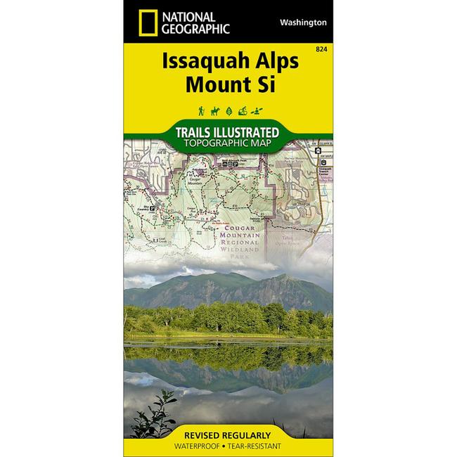
National Geographic's Trails Illustrated map of Cougar Mountain Wildland Park, Tiger Mountain State Forest, Rattlesnake Mountain, and Mount Si in Washington State's Issaquah Alps region is a two sided, waterproof map designed to meet the needs of outdoor enthusiasts with unmatched durability and detail. This map was created in conjunction with local land management agencies and is loaded with valuable recreation information. Trails Illustrated maps are expertly researched and frequently updated. The maps are printed in the United States on durable synthetic paper, making them waterproof, tear resistant, and trail tougha capable of going anywhere you do.
|


 Blog Feed
 Follow on Twitter
 Become a Facebook Fan
 Flickr
 MySpace