|
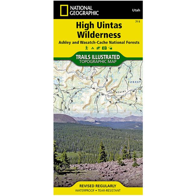
High Uintas Wilderness Ashley and Wasatch Cache National ForestsThis Trails Illustrated topographic map is the most comprehensive recreational map for Utah's High Uintas Wilderness area. Coverage includes Wasatch Cache National Forest the entire High Uintas Wilderness and surrounding backcountry Hoop, Brown, Moon, Crystal, Little Lyman and Atwood lakes Paradise Park, Cedar View, Upper Stillwater and Whitney reservoirs Red Knob, Squaw, Smith Fork, Anderson, and Thompson passes. Includes UTM grids for use with your GPS unit.
|
| Merchant | Price | Regular Price | |
|---|---|---|---|
| Summit Hut | $11.95 | $11.95 |
Copy the following string into an e-mail to support@ultrarob.com to request support.
Mozilla/5.0 AppleWebKit/537.36 (KHTML, like Gecko; compatible; ClaudeBot/1.0; +claudebot@anthropic.com)
Email: web@ultrarob.com
 Blog Feed
 Follow on Twitter
 Become a Facebook Fan
 Flickr
 MySpace