|
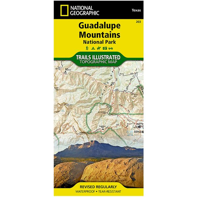
Guadalupe Mountains National Park Trail MapThis National Geographic Trails Illustrated topographic map is the most comprehensive recreational map for Guadalupe National Park in western Texas. Coverage includes Lincoln National Forest, Lonesome Ridge WSA, Devils Den Canyon WSA, McKittrick Canyon WSA, and Guadalupe Mountains Wilderness. UTM grids are provided for use with your GPS unit.
|
| Merchant | Price | Regular Price | |
|---|---|---|---|
| CampSaver.com | $9.56 on sale | $11.95 |
Copy the following string into an e-mail to support@ultrarob.com to request support.
Mozilla/5.0 AppleWebKit/537.36 (KHTML, like Gecko; compatible; ClaudeBot/1.0; +claudebot@anthropic.com)
Email: web@ultrarob.com
 Blog Feed
 Follow on Twitter
 Become a Facebook Fan
 Flickr
 MySpace
Similar Gear
| ||
| ||
| ||
| ||
|