|
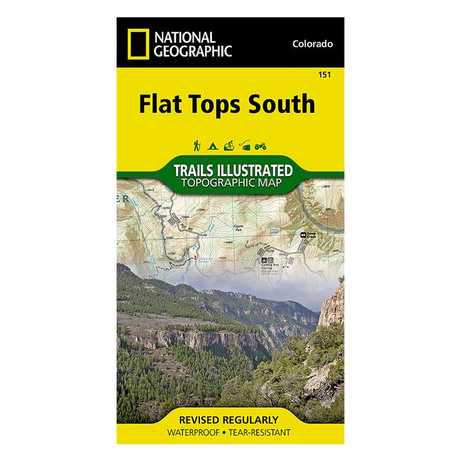
National Geographic's Trails Illustrated map of Flat Tops South in Colorado is designed to meet the needs of outdoor enthusiasts with unmatched durability and detail. Expertly researched and created in partnership with local land management agencies, this map features key points of interest including Rifle Gap, Rifle Falls, Harvey Gap, Sylvan Lake state parks and Glenwood Springs. Also featured are Flat Tops Wilderness, Castle Peak and Bull Gulch wilderness study areas and West Rifle Creek and Garfield Creek state wildlife areas. This uniquely detailed map provides trail mileages and clearly marked mountain bike and motorized trails along with access points for the Colorado River and game management unit locations.
|


 Blog Feed
 Follow on Twitter
 Become a Facebook Fan
 Flickr
 MySpace