|
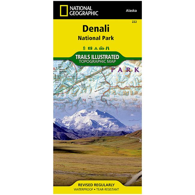
Denali National Park and Preserve Trail MapDenali National Park, in the Alaska Range, is crowned by Mount McKinley America's highest peak at 20,320 feet. The map includes the entire national park area, with a close up view of the area in and around Mount McKinley. It also includes useful tips about animal encounters, river crossings, hypothermia, and UTM grids for use with your GPS unit.More than just a map, National Geographic Trails Illustrated topographic maps are designed to take you into the wilderness and back. Printed on tear resistant, waterproof material, this map can go anywhere you do. Each map is based on exact reproductions of USGS topographic map information, updated, customized, and enhanced to meet the unique features of each area. The maps include valuable wilderness tips and Leave No Trace guidelines, along with updated trails, trailheads, points of interest, campgrounds, and much more. With a new color palette and stunning shaded relief, backcountry navigation has never been easier.
|
| Merchant | Price | Regular Price | |
|---|---|---|---|
| CampSaver.com | $9.56 on sale | $11.95 |
Copy the following string into an e-mail to support@ultrarob.com to request support.
Mozilla/5.0 AppleWebKit/537.36 (KHTML, like Gecko; compatible; ClaudeBot/1.0; +claudebot@anthropic.com)
 Blog Feed
 Follow on Twitter
 Become a Facebook Fan
 Flickr
 MySpace